Download
1 / 11
110 likes | 332 Vues
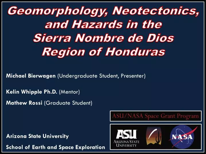
Geomorphology, Neotectonics , and Hazards in the Sierra Nombre de Dios Region of Honduras. Michael Bierwagen (Undergraduate Student, Presenter) Kelin Whipple Ph.D. (Mentor ) Mathew Rossi (Graduate Student) Arizona State University

E N D
Geomorphology, Neotectonics, and Hazards in the Sierra Nombre de Dios Region of Honduras Michael Bierwagen (Undergraduate Student, Presenter) KelinWhipple Ph.D. (Mentor) Mathew Rossi (Graduate Student) Arizona State University School of Earth and Space Exploration
BACKGROUND The Nombre de Dios mountain range poses significant hazard to the city of La Ceiba, the fourth largest city in the nation of Honduras, including hazards from landslides, earthquakes, and flooding. • La Ceiba • northern coast of Honduras • over 195,000 residents • CangrejalRiver runs through the city • Sierra Nombrede Dios • steep, rising abruptly (high uplift rate) • located close to transform tectonic plate margin • faults extend across the Sierra Nombrede Dios parallel to the plate margin • a network of rivers descends from the mountains north and flows directly into the Atlantic Ocean Image Courtesy: Google
Hurricane Mitch – October 1998 • In the fall of 1998, Hurricane Mitch devastated Honduras including the city of La Ceiba. • In Honduras alone, Hurricane Mitch: • killed over 7,000 people • resulted in over 3 billion USD damage • resulted in widespread flooding, including in La Ceiba Image Courtesy: NASA RSD
M7.3 Earthquake North of Honduras • M 7.3 - Offshore North Honduras • May 28th 2009 08:24:45 UTC • In northern Honduras at least: • 7 people killed • 40 injured • 130 buildings damaged or destroyed • The central span of a major bridge at • El Progreso, Honduras was destroyed. • This earthquake demonstrated that this • plate boundary is capable of producing • at least Magnitude 7.3 earthquakes. Image Courtesy: USGS Earthquake Hazards Program
PROJECT • Project Focus: • Constructing bilingual (English and Spanish) educational maps as an outreach tool to be utilized by “The Lodge at Pico Bonito” ecotourism lodge located in the region. • The map set will be designed to educate locals and visitors of the geologic and natural hazards (seismic, flooding, and landslide hazards) of the region. • The finished map set will contain several maps including: • a regional map showing the plate tectonics and seismicity of the North American/Caribbean plate boundary • a neotectonic map illustrating uplift patterns and active faults in Sierra Nombre de Dios • a geomorphic map highlighting faults and alluvial fans in the near vicinity of the ecolodge
METHODS • The project is utilizing GIS software to construct the maps in conjunction with seismological data as well as NASA products including: • TRMM (Tropical Rainfall Measuring Mission) data • SRTM (Shuttle Radar Topography Mission) data • ASTER (Advanced Spaceborne Thermal Emission and Reflection Radiometer) data
Regional Tectonic Map with Seismicity Since 1962 *Preliminary Map This map will illustrate the large scale tectonic setting and seismicity of the region. La Ceiba is located near a left-lateral transtensionalplate boundary between the North American Plate and the Caribbean Plate. In this region the plate boundary accommodates about 20 mm/y slip. Large scale faults in the Nombre de Dios mountain range run parallel to this plate boundary. The lack of recent earthquakes near La Ceiba associated with these faults in the mountain range could result in a potential large earthquake in the future from a large build-up of energy over time.
Nombre de DiosMountain Range SlopeMap *Preliminary Map Slope map of the Nombre de Dios Mountain Range. The steep slopes of the range in addition with the high rainfall on the northern mountain front mean a high risk of landslides. The Lodge at Pico Bonito itself sits on an active alluvial fan.
TRMM (Tropical Rainfall Measuring Mission) Data and Regional Hurricane Tracks Since 1950 *Preliminary Map This map will illustrate the large amount of annual rainfall (in mm per year) in the northern Honduras along the northern Nombre de Dios mountain front. Imagery was derived from NASA/JAXA TRMM satellite data. Hurricane tracks as well as Tropical Storm and Tropical Depression tracks since 1950 have been displayed to illustrate the hurricane risk of northern Honduras and the city of La Ceiba.
PROGRESS Progress: Satellite imagery was collected and mosaicked together in GIS software Seismicity, hurricane track, TRMM, and DEM datasets have been collected Preliminary maps have been constructed using GIS software
CONCLUSION These educational maps will be used as a public outreach tool for locals and visitors that visit the Lodge at Pico Bonito in Honduras and will be used to inform people of the hazards of the region. The map set will also provide information regarding the geology and geography of the La Ceiba/Sierra Nombre de Dios region in an effort to highlight the unique geologic setting of the area.