Download
1 / 10
100 likes | 127 Vues
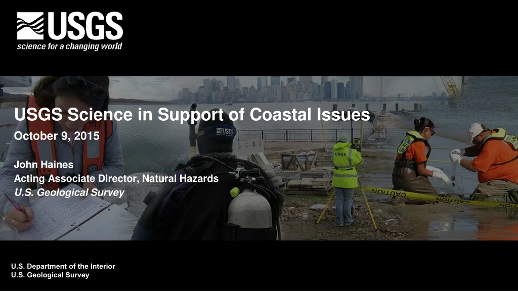
USGS Science in Support of Coastal Issues October 9, 2015 John Haines Acting Associate Director, Natural Hazards U.S. Geological Survey. Coastal Marine Geology Program. Past Regional Cooperative Studies Louisiana Barrier Islands Louisiana Subsidence South Carolina Coastal Erosion

E N D
USGS Science in Support of Coastal Issues • October 9, 2015 • John Haines • Acting Associate Director, Natural Hazards • U.S. Geological Survey
Coastal Marine Geology Program • Past Regional Cooperative Studies • Louisiana Barrier Islands • Louisiana Subsidence • South Carolina Coastal Erosion • S. Lake Michigan Coastal Erosion • Lake Erie Coastal Erosion • Florida Gulf of Mexico Wetlands • West Central Florida Coastal Erosion • Southwest Washington Coastal Erosion • Hawaii Coastal Erosion • North Carolina Coastal Erosion • MassBay/Boston Harbor Contaminants • Southern California Shelf Contaminants
Regional Cooperative Studies Today Shoreline Position at 8000 years B.P. • Fire Island Coastal Erosion • DelMarVa Coastal Erosion • Gulf of Mexico Barrier Island Evolution • California Coastal Change • Florida/Caribbean Corals • Hawaii/Pacific Corals • Puget Sound Restoration 10 km Outwash Headland ~200M cubic meters eroded Marine Transgression SW Sediment Flux Integration of Geologic and Shoreline Structure and Change Oceanographic Deployments Erosion of Headland Source of Holocene Sediment ~160M cubic meters Seafloor Mapping Comparison of modeled and observed sediment thickness change Modeling Long-term and hurricane-driven shoreline change
Building National Capacity to Anticipate and Respond to Coastal Change Hazards • Storms, Erosion and Climate Change • Geologic, Geomorphic and Oceanographic Observations • Research • Models, Forecasts, and Assessments • Delivery Mechanisms
Forecasting Storm Vulnerability • Pre-Sandy (2010) vulnerability • 20% of Fire Island was likely to overwash • Post-Sandy (2012) vulnerability • 70% of Fire Island is likely to overwash EROSION EROSION OVERWASH OVERWASH INUNDATION INUNDATION
Ensuring Maximum Impact Coastal National Elevation (CoNED) Datasets Mapping California State Waters Predicted Mobility of Oil/Sand “Tarballs”
Corals Florida-based project looks at (1) Reef history, (2) Reef Geomorphology, (3) Reef Geochemistry, (4) Calcification Regional studies indicate increase in reef calcification in Dry Tortugas National Park, while loss at all other locations.
Opportunities & Challenges • Making science actionable • Communicating risk • Building Research Infrastructure • Data, models, field capacity • Setting Research Priorities • National, regional, local • Addressing Complexity and Change