Download
1 / 26
260 likes | 424 Vues
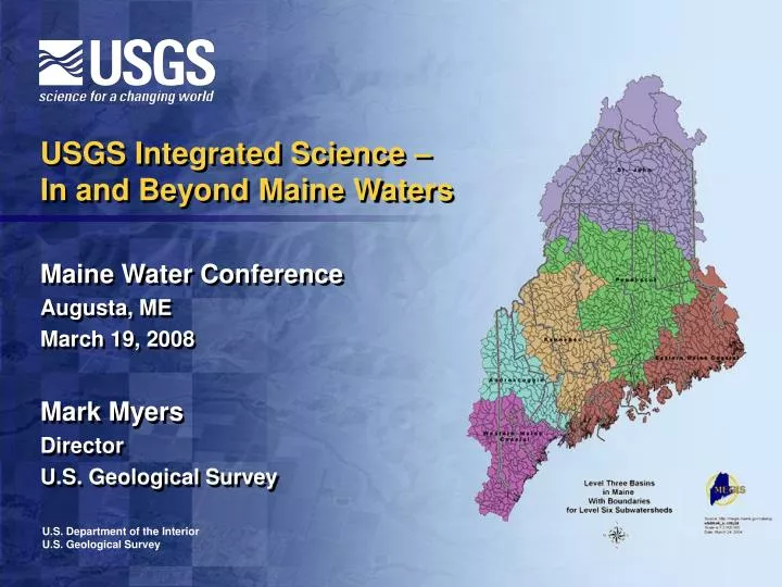
USGS Integrated Science – In and Beyond Maine Waters Maine Water Conference Augusta, ME March 19, 2008 Mark Myers Director U.S. Geological Survey. U.S. Department of the Interior U.S. Geological Survey. Water – the common thread. A shared element of air, land, sea

E N D
USGS Integrated Science –In and Beyond Maine Waters Maine Water Conference Augusta, ME March 19, 2008 Mark Myers Director U.S. Geological Survey U.S. Department of the Interior U.S. Geological Survey
Water – the common thread • A shared element of air, land, sea • A limited resource, global issue • Humans now use 54% of the available fresh water on the globe • Water availability diminished by • climate change, population growth, agricultural use • Water studies provide insight for integrated science issues
Hoover Dam, Colorado River, 1935 Science in the reallocation of water Mytilene Aqueduct, Greece, 3rd century A.D.
Urban Urban Thermal Thermal Farming Ecosystem Farming Ecosystem requirementsNow a major driver of changes in water allocation
Urban Thermal Farming Ecosystem The Story of the Water PieShrinking or Growing? • Factors • Withdrawal rate • Recharge rate • Changes in ground-surface water dynamics • Climate change
Seeking synergy in science Evangelical Leaders Join Global Warming Initiative - New York Times February 8, 2006 By LAURIE GOODSTEIN Despite opposition from some of their colleagues, 86 evangelical Christian leaders have decided to back a major initiative to fight global warming, saying "millions of people could die in this century Copper prices set another recordBy Dale Funk, Contributing EditorApr 1, 2006 12:00 PMWhile most wire and cable industry veterans and commodity analysts expected 2006 to be a year of moderation for copper prices, when copper jumped 9.45 cents to nearly $2.36 a pound on March 17 on the New York Mercantile Exchange, it set another record. A British experts report on climate change warns that failure to curb global warming could trigger worldwide economic devastation, with poor countries hit first and hardest. Prime Minister Tony Blair called for urgent international action.
USGS Science Strategy Directions Understanding Ecosystems and Predicting Ecosystem Change Energy and Minerals for America’s Future A National Hazards, Risk, and Resilience Assessment Program The Role of Environment and Wildlife in Human Health A Water Census of the United States Climate Variability and Change Data Integration and Beyond
USGS Science Strategy Directions – Maine Focus Understanding Ecosystems, Predicting Ecosystem Change Energy and Minerals for America’s Future A National Hazards, Risk, and Resilience Assessment Program The Role of Environment and Wildlife in Human Health A Water Census of the United States Climate Variability and Change Data Integration and Beyond
Congressional Support for Water Census – since 2002 “The [House Appropriations] Committee is concerned about the future of water availability for the Nation. ... The Committee directs that the USGS prepare a report … of the efforts needed to provide periodic assessments … of freshwater resources.” Directive from Congress to USGS, FY 2002
Administration Support for Water Census “The United States has a strong need for an ongoing census of water that describes the status of our Nation’s water resource at any point in time and identifies trends over time.” National Science and Technology Council report, A Strategy for Federal Science and Technology to Support Water Availability and Quality in the United States (September 2007) President’s FY 2009 Budget supports the Water Census USGS gaging station on Sebago Lake, principal water supply for greater Portland area
Water Census: Nationwide Study Plans Census activities will be organized around the 21 Water Resource Regions established in Circular 1223 Report to Congress: Concepts for National Assessment of Water Availability and Use, U.S. Geological Survey Circular 1223, 2002
Water Census Benefits A synthesis of water flow, water use, land use, water quality information Use Recommendations of the National Research Council Report Develop water use characteristics by types of land use Ability to track water from point of withdrawal thru to return of flow.
Understanding Ecosystems and Predicting Ecosystem Change USGS Science Directions Interactions in Maine Climate Variability and Change
Winter Spring
Hydrologic changes in NE states due to climate change Similar to NW states • Earlier streamflow timing • Earlier iceout dates & thinner ice • Fewer ice-affected days at gages • Greater rain/snow ratios • Smaller snowpacks • Warmer spring water temperature 1-2 Week Earlier Streamflow Timing
Trendsin the timing of winter-springflows
Increasing flows Decreasing flows
Ocean Action Plan – Maine Features President’s Ocean Action Plan calls for understanding processes that affect ocean health by studying water from the oceans to the headwaters of rivers and streams. A fundamental principle of the Ocean Action Plan – Think nationally, but act regionally. Penobscot River and Bay is a prime study area.
Penobscot Dam Removal USGS scientists have discovered pock marks, probably from gas seeps in the study area. Sediment monitoring station installed north of Bucksport to baseline current (pre-dam removal) sediment transport conditions.
Gulf of Maine Council Mapping Penobscot Bay is a small piece of Gulf of Maine Mapping Initiative (GOMMI) –a transboundary effort of theGulf of Maine Council. USGS active in Council activities, especially habitat monitoring and ecosystem indicators partnership.
Ecosystem Indicators Partnership Transboundary leaders in developing ecosystem indicators for aquatic habitat, climate change, coastal development and contaminants. Learn more about the ESIP Committee at www.gulfofmaine.org/esip USGS biologist Adria Elskus studies contaminant levels in fishes and invertebrates in the Penobscot and other rivers in the Gulf of Maine watershed.
Indicator Reporting ToolJust released (March 4, 2008) Access through ESIP Webpage: www.gulfofmaine.org/esip
NROC – Northeast Regional Ocean Council The council seeks to be compatible with existing regional efforts. Four main interests: Ocean and coastal ecosystem health Render New England a “Coastal Hazards Ready” Region Ocean energy planning and management Maritime security in New England
Water – the key to life Penob3.riv Contour study of the Penobscot River at Veazie Dam
Water – the common thread in Maine • A shared element of air, land, sea • As in other places, Maine waters are affected • by population growth and agricultural use, • but particularly here, by climate change. • Maine water studies provide important regional insight • for integrated science at national and global levels.