Ground Penetrating Radar
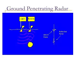
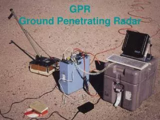
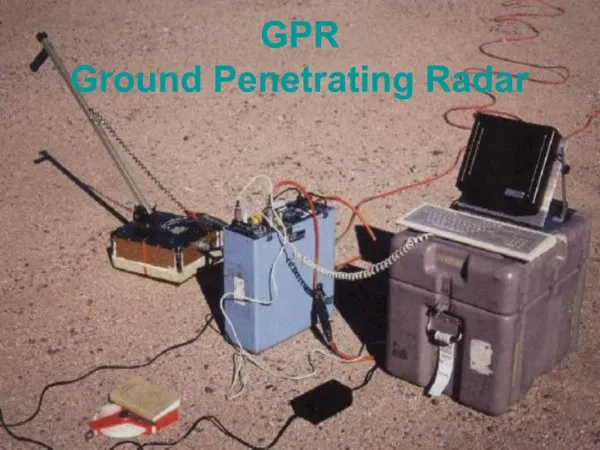
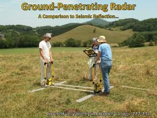
AMCOM Fragment Scanning System. Sponsored By. Ground Penetrating Radar GPR is a non-destructive imaging method that uses radar pulses to image the subsurface The radar pulses used are in the microwave band of the radio spectrum How does GPR work?

Ground Penetrating Radar
E N D
Presentation Transcript
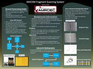
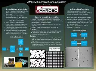
AMCOM Fragment Scanning System Sponsored By • Ground Penetrating Radar • GPR is a non-destructive imaging method that uses radar pulses to image the subsurface • The radar pulses used are in the microwave band of the radio spectrum • How does GPR work? • GPR is similar to a metal detector • The GPR system sends out thousands of RF frequency pulses into the ground • The frequencies that are reflected back return to the antenna • Frequency analysis of the reflected RF energy allows correlation of different material compositions in the subsurface • System Description • Industrial Radiography • Industrial Radiography is another non-destructive detection method which utilizes X-rays and gamma rays to view materials • How Industrial Radiography Works • Similar to medical radiography, industrial radiography uses an X-ray source to penetrate a sample with high-energy radiation onto a film or a digital detector • This creates a 2D image of the different materials in the sample • System Description Adam Anderson, Will Barrett, Asato Tashiro • Background Information • AMRDEC is the Weapons Integration & Development Directorate of the US Army Aviation and Missile Research, Development, & Engineering Center • They perform a variety of munitions and warhead test programs • AMRDEC ‘s test facility is located in Huntsville, AL • Problem • Shrapnel X/Y location and mass is analyzed manually • Consumes up to 9600 man-hours of valuable time • Results in high operating costs • Solution • Implement an automated and portable system that will scan the panels, and output an image mapping of the fragments • Use image processing program to analyze fragment images, gather information on X/Y location, size, width, length, and perimeter Image Analysis DataPixcavator 6.0