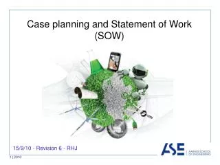
2010/11/1
嘉義縣阿里山鄉來吉村. 2010/11/1. 空拍範圍. 歷史災害敘述. N. 阿. 里. 外來吉. 山. 來吉大橋. 溪. 內來吉. 環境區域位置. 3. 3. 1. 1. 4. 1. 4. 2. 2. 現地照片位置說明. 重點工程點位對照. 本重點區空拍範圍內,近年來有來吉 1 、 2 鄰清疏工程工程等 9 件,工程經費小計 120,222 千元。. 遙控無人載具空拍 (99/11/1). N. N. 阿里山溪. 來吉村. 阿里山溪. 遙控無人載具空拍 (99/11/1). N. 阿里山溪. 來吉村.


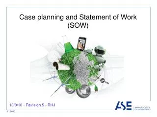
2010/11/1
E N D
Presentation Transcript
嘉義縣阿里山鄉來吉村 2010/11/1
空拍範圍 • 歷史災害敘述 N 阿 里 外來吉 山 來吉大橋 溪 內來吉
環境區域位置 3 3 1 1 4 1 4 2 2 現地照片位置說明
重點工程點位對照 本重點區空拍範圍內,近年來有來吉1、2鄰清疏工程工程等9件,工程經費小計120,222千元。
遙控無人載具空拍(99/11/1) N N 阿里山溪 來吉村 阿里山溪
遙控無人載具空拍(99/11/1) N 阿里山溪 來吉村
遙控無人載具空拍(99/11/1) N N 阿里山溪 來吉村 阿 溪 里 山 來吉村
遙控無人載具空拍(99/11/1) 航空照片_90年 太和國小 N N 無人載具影像_98/08/17 1 崩塌面積約6公頃 4 4 3 2 3 2 阿 內來吉 阿 1 里 里 來吉大橋(毀損) 外來吉 來吉大橋(毀損) 外來吉 山 山 溪 溪
後續潛在危險性及建議對策 颱風豪雨時,外來吉全村撤離仍為必要執行之工作 阿里山溪主流清疏、哇嘟嘟娜野溪土砂控制、上邊坡崩塌地復育、 聯外道路暢通維持民生道路通行,為未來長期規劃之方向。 依據原民會初勘結果,原居住地屬於不安全之範圍,應予搬遷為宜。 在未搬遷之前,將針對外來吉3、4鄰居住地及來吉國小下方邊坡崩 塌地處理進行災害基本控制。