1 / 51

ICEDS Creating a flexible geospatial information service

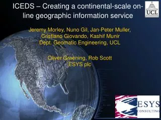
Original Motivation. CEOS Landsat and SRTM Project (CLASP)NASA has provided SRTM (shuttle Radar Topographer Mapper) and 3 sets of orthorectified Landsat data to UN The UN wish to maximise access to these data to all of its agenciesCEOS (Committee on Earth Observation Satellites) agencies offered

brit
Télécharger la présentation

ICEDS Creating a flexible geospatial information service

An Image/Link below is provided (as is) to download presentation Download Policy: Content on the Website is provided to you AS IS for your information and personal use and may not be sold / licensed / shared on other websites without getting consent from its author. Content is provided to you AS IS for your information and personal use only. Download presentation by click this link. While downloading, if for some reason you are not able to download a presentation, the publisher may have deleted the file from their server. During download, if you can't get a presentation, the file might be deleted by the publisher.

E N D

Presentation Transcript


    More Related