Download
1 / 7
70 likes | 177 Vues
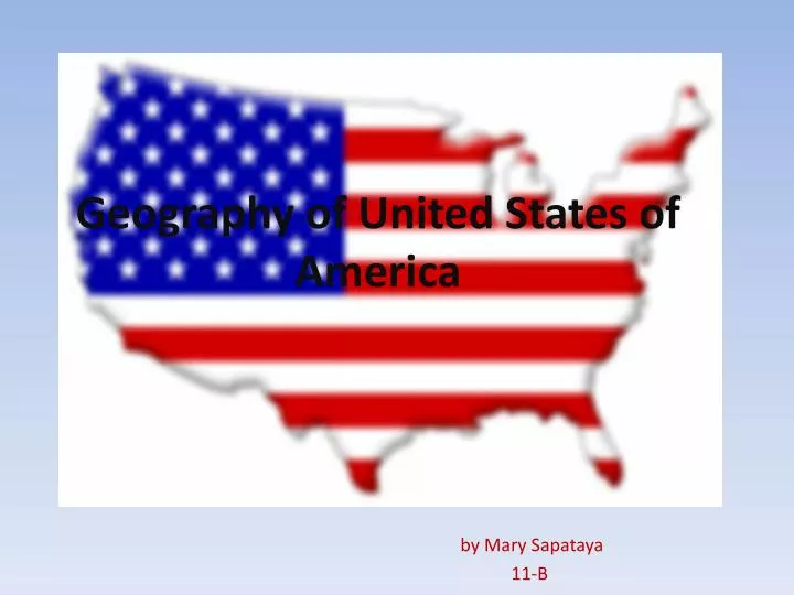
Geography of United States of America. by Mary Sapataya 11-B. Geography of.

E N D
Geography of United States of America by Mary Sapataya 11-B
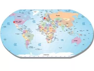
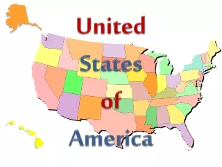
Geography of Population: 307,212,123 Capital: Washington D.C.Area: 3,794,100 square miles (9,826,675 sq km)Bordering Countries: Canada and MexicoCoastline: 12,380 miles (19,924 km)Highest Point: Denali (also called Mount McKinley) at 20,335 feet (6,198 m)Lowest Point: Death Valley at -282 feet (-86 m)
It is the third largest country in the world by area and has a varied topography. The eastern regions consist of hills and low mountains while the central interior is a vast plain and the west has high rugged mountain ranges.
The original 13 colonies of the United States were formed in 1732.
It is considered mostly temperate but is tropical in Hawaii and Florida, arctic in Alaska, semiarid in the plains west of the Mississippi River and arid in the Great Basin of the southwest.
The subsoil is rich in various natural resources, including - coal, lignite, iron and manganese ore(каменный и бурый уголь, железная и марганцевая руды).
Tundra vegetation is on northern Alaska . Mississippi is one of the longest river systems in the world - stretches for 6420 km.