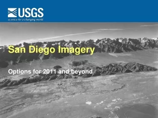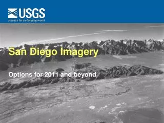
San Diego Imagery Options for 2011 and Beyond
230 likes | 328 Vues
Explore imagery generation possibilities in San Diego region for 2011 and beyond, including National Map data layers, NAIP program, DHS Urban Areas, partnering opportunities, and cost estimates.

San Diego Imagery Options for 2011 and Beyond
E N D
Presentation Transcript
San Diego Imagery Options for 2011 and beyond
The National Map • The National Map is built on partnerships and standards • The National Map is built upon eight data layers: hydrography, elevation, orthoimagery, geographic names, boundaries, transportation, land cover, structures • Public domain data support • topographic maps at 1:24,000-scale • products and services at multiple scales and resolutions • analysis, modeling, and other applications at multiple scales and resolutions
Components The National Map is a collection of digitally produced maps in several formats built on individually produced and maintained layers. It can be expressed as two parts: • TNM products • Standard map series • Completeness and consistency • Available in different formats • Integrated data • Cartographically correct • The digital datasets • Eight themes • Available individually • Set standards • Input from multiple sources • Compatibility with other GIS data
Imagery generation possibilities • National Agriculture Imagery Program • DHS 133 Urban Areas • Standalone local/regional/state projects • Combination of the above
NAIP – National Agriculture Imagery Program • Based on Farm Service Agency (FSA) need to monitor crop programs • Offers nationwide data over three year cycle • Basic product is one meter, color infrared or natural color, leaf-on orthoimage • Statewide NAIP completed for CA in 2009 and in progress for 2010 but not planned for 2011 • Possible half-meter and four band upgrades (even some leaf off flights)
Homeland Security urban areas (aka 133 cities) • One foot, or better, natural color imagery • Optimal refresh cycle is two to three years • Covers 133 major urban areas across USA • Funds provided by National Geospatial-Intelligence Agency (NGA) but applied through USGS • Funds generally sufficient to create a standard one foot product • Each urban area has a defined footprint based on 7.5-minute quadrangles • Partnerships with local and regional government are welcome (examples include CIRGIS, LA County, Imperial County, Solano County, Kern County) • Partnerships can extend projects beyond NGA footprints and improve resolution and image band selection
Homeland Security urban areas (continued) • Public domain data are preferred • Restricted use datasets are possible though with a public access release after a certain time • Requires permission to collect and distribute data over military installations • Projects can be managed by partnering agencies or by USGS Commercial Partnerships Team • USGS manages vendors through Geospatial Products and Services Contracts (GPSC) • GPSC has pool of vendors and subcontractors. Qualifications based selection. • GPSC can develop Independent Government Cost Estimate • Partners are able to request certain vendors if on contract
San Diego Region imagery considerations Meeting held at USGS in September to address • Areal extent – is whole county needed? • Areas with better than one foot resolution? • Custom flight or off-the-shelf? • Any data licensing or restrictions? • Contracting mechanism? • Possible interested groups • Data refresh cycle?
San Diego Regional Imagery Planning meeting Attendees • SDSU Homeland Security • Caltrans • San Diego County • SANDAG • USMC • US Navy • USGS
General conclusions • Look at whole county coverage • Minimum of one foot resolution with possibility of 6 inches for urban areas – blend simplicity with max utility • Get prices for basic urban area and then whole county • Determine who are possible contributors • Define rough costs for different groups • Agree on contracting mechanism
Cost estimates • Await numbers from USGS Commercial Partnership Team • Best equivalent project is Imperial County collected by RFP vendor 2008 (4,000 square miles, $270,000 (or $70/mi2)) • Cost likely to vary further if combined with other projects in Riverside, San Bernardino, and Imperial Counties
To do • Receive estimated costs and verify final NGA contribution amount • Share costing information with SDRGC • Share info with other outside groups (state, fed) • Develop funding scenarios • Hold 2nd planning meeting
Regional Lidar • High resolution elevation data exist for cities of San Diego, Poway, and Chula Vista and along border • Lidar also collected by NGA for San Diego for ~105 square miles – data acceptance and distribution method in work • Need for regional lidar • What do we need? Point density, DEM/DSM grids, bldg footprints, point clouds, etc. • USGS estimate from 2009 is $1,000,000+ for whole county • USGS has lidar Guidelines and Base Spec
Drew Decker 4165 Spruance Road, #200 San Diego, CA 92101 619-225-6430 office 619-417-2879 cell ddecker@usgs.gov Carol Ostergren3020 State University Drive East, Ste 4003Sacramento, CA 95819916-278-9510 916-278-9514 (fax)costergren@usgs.gov