Download
1 / 19
190 likes | 308 Vues
This project outlines the use of Geographic Information Systems (GIS) for monitoring and mapping various pilot sites focused on agricultural resilience to climate change in Tonga. It aims to identify land uses and crops that adapt effectively to diverse environmental conditions. Featuring three distinct pilot sites: Nakolo (steep and windy), 'Eua (forested), and Tefisi Village (agricultural), the initiative encompasses physical surveys, community awareness programs, and strategic management planning. Data collected includes nest site conditions, soil temperature, and various biodiversity indicators for long-term monitoring and community education.

E N D
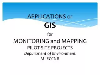
APPLICATIONS OFGISf0rMONITORING and MAPPINGPILOT SITE PROJECTSDepartment of EnvironmentMLECCNR
Overview 1. Land use Monitoring and Mapping - GIZ Projects 2. Habitat Mapping - Biodiversity Project
1. GIZ PROJECT Crops resilient to climate change Objective: To find out the type of Land Uses or Crops that are resilient or adaptive to climate change effects at different environments. Steep slope land Windy site Forested area
1. GIZ PROJECT Crops resilient to climate change • Pilot Site Projects are located at different locations in Tonga: • 1. Nakolo Pilot Site, Tongatapu Island – Steep and Windy • 2. ‘Eua Island Pilot Site - Steep Forested Land • 3. Tefisi Village Pilot Site, Vava’u Island: Steep Agricultural Land
1. GIZ PROJECT Crops resilient to climate change Tentative monitoring schedule
GIZ Pilot Site – Nakolo Cassava Young Talo
GIZ Pilot Site – Nakolo Kumala Mature Cassava
GIZ Pilot Site – Nakolo Young Talo Futuna Young Talo Tonga
GIZ Pilot Site – Nakolo Mature Talo
GIZ Pilot Site – Nakolo Young bananas Pineapples
What we did… • Physical survey of Malau nest sites on Niuafo’ou • Community awareness programs • Initial development of strategic management plans
What data did we collect? • Physical position of nest site • Status of nest site • Surrounding flora and fauna • Soil temperature • Bird sightings • Time and date of visit
Future tasks… • Development of GIS for long term monitoring of Malau population • Interactive web maps for donor and community education programs • Capacity building for Ministry staff in GIS data collection, data management and analysis