Download
1 / 30
300 likes | 327 Vues
Explore the promises and challenges of next-generation wireless systems, including satellites, HAPS, and NGSO applications. Dive into the transition from 2D to 3D in communication networks, featuring insights from the FCC Technology Advisory Council. Discover the latest advancements in managing 3D wireless technology for mass deployment, revolutionizing connectivity in the skies. This presentation delves into the intricacies of satellite technology, NGSO regulations, and the impact on space and aerial communication landscapes. Stay informed and navigate the evolving realm of wireless networks with key industry updates.

E N D
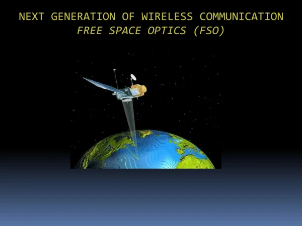
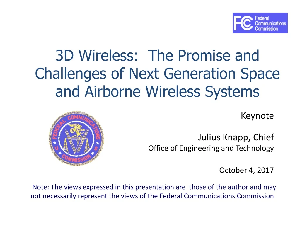
3D Wireless: The Promise and Challenges of Next Generation Space and Airborne Wireless Systems Keynote Julius Knapp, Chief Office of Engineering and Technology October 4, 2017 Note: The views expressed in this presentation are those of the author and may not necessarily represent the views of the Federal Communications Commission
2D vs 3D in Chess 2D – A Challenge for the Mind 3D - Mind Boggling
2D vs 3D in Communication Systems 2D Cellular Microwave Land Mobile 3D Combined Networks Air-Ground Satellite
So What is New?3D Wireless Management • Satellites • Non Geostationary – Numerous new systems • Cubesats • High Altitude Platforms (HAPS) • Above 50,000 feet • Platforms below 50,000 feet • Aeronautical • Unmanned Aerial Vehicle (UAV) With mass deployment of services and devices “in the sky”, FCC tasked the Technological Advisory Council to make recommendations
FCC Technological Advisory Council Working Group:Implications for Mass Deployment of Aeronautical/Space Transmitters December 7, 2016
Working Group Members Steve Lanning (ViaSat) co-chair Michael Tseytlin (Facebook) co-chair Jeffrey Foerster (Intel) Dale Hatfield (U Colorado) Adam Drobot (OpenTechWorks) Russ Gyurek (Cisco) Lynn Merrill (NTCA, MRL&Co) Brian Daly (AT&T) Pierre de Vries (U Colorado) Brian Fontes (NENA) Brian Swenson (Microsoft) Lisa Guess (Juniper) Geoffrey Mendenhall (GatesAir) McNamara, Mike (TW Telecom) Amit Ganjoo (ANRA Technologies) Maqbool Aliani (Ligado) Paul Misener (Amazon) Mark Bayliss (Visual Link) Michael Ha (FCC liason) Brian Butler (FCC liason)
Contributors Sean Cassidy (Amazon) Richard Heinrich (Rockwell Collins) Patricia Cooper (SpaceX) Don Jansky (Jansky-Barmat Telecommunications) Ramesh Lakshmi-Ratan (Bell and Howell) Steve Chacko (ViaSat) Sergio Bovelli (Airbus) Daniella Genta (Airbus) Amit Ganjoo (Anra Technologies) Charlie Zhang (Samsung) Mike Senkowski (DLA Piper) Anna Gomez (Wiley Rein) Sean Murphy (T-Mobile) Joe Cramer (Boeing) Tom Fagan (Raytheon) Mike Lindsay (OneWeb) Andrew Thurling (Aerovironment) Shaun Coghlan (Aeryon) Craig Ranta (Aeryon) Michael Marcus (Marcus Spectrum) Cortney Robinson (AIA Aerospace) Scott Kotler (Lockheed Martin) Alexander Gerdenitsch Jennifer Richter (Akin Gump/CTIA) Alex Epshteyn (Boeing) Mike Lindsey (OneWeb)
NGSO Systems • NGSO satellite systems intended to provide fixed and mobile-satellite service (MSS) to earth stations are subject to a processing round • After a “leading NGSO application” is accepted for filing a cut-off date is established for the submission of competing applications using overlapping frequency bands • Now on circulation: NGSO FSS NPRM for Parts 2 & 25 • Ku-/Ka-band: Processing Round for NGSO systems closed Nov. 15 • Triggered by OneWeb Petition for Declaratory Ruling for market access for 720 satellite system in the 10.7-12.7 GHz, 14.0-14.5 GHz, 17.8-18.6 GHz, 18.8-19.3 GHz, 27.5-28.35 GHz, 28.35-29.1 GHz, and 29.5-30.0 GHz bands • 11 Additional NGSO applications filed • V-band: Processing Round for NGSO systems open until March 1, 2017 • Triggered by Boeing application to operate an NGSO system consisting of 2956 satellites in the 37.5-40GHz, 40-42GHz, 47.2-50.2GHz and 50.4-51.4GHz bands
NGSO Systems - Applications filed in the Ku-Ka-band Processing Round
High Altitude Platform Stations (HAPS) The ITU definition - "a station located on an object at an altitude of 20 to 50 km and at a specified, nominal, fixed point relative to the Earth." Two types of platforms: Heavier than Air and Lighter than Air Today, there is only one global allocation for HAPS, consisting of 600 MHz in the V Band (47/48 GHz). Because of the problem with rain fade, particularly in tropical rain zones, about two dozen countries in Southeast Asia agreed to an additional 600 MHz in the Ka Band (28/31 GHz) in 2000. At a subsequent WRC, four African countries and Australia (an early proponent of HAPS) agreed to 160 MHz at C Band (6 GHz) for gateway links.
Update: Applications Filed for NGSOBroadband Satellite Systems FCC Public Notice Applications Filed Telesat Canada The Boeing Company Space Norway AS) LeoSat MA, Inc. Karousel LLC O3b Limited Audacy Corporation Space Exploration Holdings, LLC ViaSat Inc. Theia Holdings A, Inc. • Issued May 26, 2017 • Applications Accepted for Filing • Cut-off Established For Additional NGSO-Like Satellite Applications or Petitions For Operations In The 12.75-13.25 GHz, 13.85-14.0 GHz, 18.6-18.8 GHz, 19.3-20.2 GHz, and 29.1-29.5 GHz Bands See: https://www.fcc.gov/document/cut-established-additional-ngso-satellite-applications
NGSO Update • On 9/24/17 FCC modernized the rules for next generation satellite systems • Report and Order: • Amends the Table of Frequency Allocations to better accommodate NGSO and geostationary satellite operations in the Ka-band (20/30 GHz); • Streamlines the NGSO milestone rules for deployment and eliminates the international geographic cover requirements to provide greater flexibility to NGSO FSS operators, and • Adopts a new threshold to characterize circumstances where–absent a coordination agreement between operators—a default mechanism will govern spectrum sharing between operators. • Further NPRM invites comment on whether to provide satellite operators additional flexibility by allowing innovative new system designs that target particular areas.
Spectrum for use by HAPS was accepted as Agenda Item 1.14 at WRC-19 • Study additional spectrum needs for gateway and fixed terminal links for HAPS to provide broadband connectivity in the fixed service • To study the suitability of using the existing identifications on a global or regional level (including 47.2-47.5 GHz and 49.9-48.2 GHz globally, and 27.9-28.2 GHz HAPS-to-ground and 31-31.3 GHz ground-to-HAPS outside Region 2) • To study appropriate modifications of existing footnotes and associated resolutions • To study the following frequency bands already allocated to the fixed service on a primary basis • On a global level, 38-39.5 GHz, and • On a regional level, in Region 2, 21.4-22 GHz and 24.25-27.5 GHz • These studies include sharing and compatibility studies to ensure protection of existing services allocated in the frequency ranges identified
High Altitude Platform Stations (HAPS) • Several companies worldwide are engaged in development • Facebook demonstrated first Aquila flight • Google flew Titan last year • Airbus ongoing project on Zephyr in UK • Thales develops Stratobus • As HAPS are still in the experimental stage, the TAC WG recommends individual companies continue their efforts and inform FCC on their progress, as appropriate. • No further action is required by FCC at this moment Airbus - Zephyr
Large UAS (HALE/MALE/HAPS) Recommendations • TAC recommends the Commission begin and quickly conclude proceedings on service rules for Command and Control (C2) for large UAS, including HALE/MALE/HAPS, using ITU recommended frequency bands, including; portions of the “L-band” and “C-band”, and utilizing Satellite Services. • The TAC also recommends the FCC gather information on the Payload Services for large UAS, particularly HAPS, targeted applications and sharing techniques with incumbent users.
UTM Principles: Services for Safe Integration • Users operate in airspace volumes as specified in FAA authorizations, which are issued based on type of operation and operator/vehicle performance • UAS stay clear of each other • UAS and manned aircraft stay clear of each other • UAS operator has complete awareness of airspace and other constraints • Public safety UAS have priority over other UAS • Key UAS-related services • Authentication • Airspace configuration and static and dynamic geo-fence definitions • Weather and wind prediction and sensing • Conflict avoidance (e.g., airspace notification) • Demand/capacity management • Large-scale contingency management (e.g., GPS or cell outage) Source: NASA 17
TAC Recommendations on Part 107 Commercial and Recreational UAS • The Commission should promote use of existing communications infrastructure whenever possible to support small, low-altitude UAS communications functions avoiding unnecessary costs and regulatory delays. • Commercial wireless networks, which enjoy flexible licensing, and commercial satellite networks, present solutions for control, tracking and payload communications for small, low altitude UAS. There is no need for a new regulatory regime. • Although the working group does not anticipate the need, the Commission should act now to study if any rule changes or additions are required in order to allow for airborne use of commercial wireless bands • Most, if not all, UAS communications needs are foreseeable, and the Commission’s work can be done in parallel to the FAA’s, not serially and there is no need to delay action
TAC Recommendations on Small UAS - continued • The Commission should harmonize the 800 MHz band with other commercial mobile wireless bands, allowing its use to support airborne communications for small, low-altitude UAS. • As the Commission considers autonomous cars and other similar applications that provide for collision avoidance technologies (DAA, SAA in 5.9 GHz, 24 GHz, 32 GHz, 76-81 GHz and other bands), the Commission also should consider collision avoidance spectrum opportunities for small UAS at low-altitudes and whetherthe same technologies and bands should be available for both use cases. • The Commission should support use of commercially available licensed and unlicensed bands wherever possible for small, low-altitude UAS. • The Commission should support use of ADS-B technology for small UAS to coordinate operations among manned and unmanned aircraft, allowing small UAS to listen for ADS-B messages from manned aircraft, and transmitting identity and location information for small UAS using either ultra-low-power ADS-B or alternate implementations of ADS-B-like technologies.
TAC Recommendations on Small UAS - continued • The FCC should support innovation and technology leadership by the United States, similar to other countries that already have embraced UAS technology. • The Commission should initiate a rulemaking process for command and control links using the C-band and the L-band. The Commission’s allocations and service rules for these bands should be flexible enough to accommodate future uses of these bands by low-altitude small UAS. • The Commission should recognize, however, the C-band and L-band allocations for UAS from the World Radio Conferences in 2007 and 2012 are not near-term solutions for control links for small, low-altitude UAS. The use of commercial wireless bands, to support small, low-altitude UAS should not be delayed as a result this proceeding.
TAC 2017 WG: Satellite Communication Plan Working Group Contributors Paul Konopka (ViaSat, Inc.) Jennifer Manner (Hughes/EchoStar) Fernando Carrillo (Hughes/EchoStar) Mariah Shuman (OneWeb) Jonathan Sheffield (Facebook) Alex Epshteyn (Boeing) • Mike Lindsey (OneWeb) • Zachary Rosenbaum (O3b/SES) • Patricia Cooper (SpaceX) • Joe Cramer (Boeing) • Ahmad Armand (T-Mobile) • Ralph Ewig (Audacy Corporation)
TAC 2017 WG: Satellite Communication Plan Charter • This work group will look at recommendations for processes and communication solutions to support both startup venture satellite operations as well as massively scaled satellite operations. • The work group will assess the challenges faced by these new satellite ventures in the context of current and planned communication/telemetry solutions. • The work group will focus on streamlining the regulatory process, the impact on current satellite operations from expected scaling of operations in both frequency and number, the effect of possible interference from satellites operation in MEO and LEO orbits, and proposals that would allow for higher spectral efficiency and lower costs for satellite communication needs.
Work Plan And Products • Use cases including • satellite as primary platform for access, • IoT and new requirements, • vehicle to space vehicle communication as part of a network in the sky as generalization from bent pipe operations • identification of sensible spectrum as input to provide prioritization of decisions and identification of where advocates are coming from • White Paper • Risk Informed Interference Assessment (Pierre to give details) • White Paper • Presentations by leaders in Geostationary Satellites, LEO and MEO as well as those working in research field. Expectation is that presentations will inform and enrich the deliberations and work product of the group
Risk assessment framework for GSO/NGSO coexistence • Goal (“What”): Frame a Risk-informed Interference Assessment (RIA) of GSO/NGSO coexistence • Purpose (“Why”): Outline a risk assessment framework that can help frame the coexistence debate • Non-goals • A complete risk assessment (we will only provide framework, not calculations) • Policy recommendations (we will not take a position on merits of active proceedings) • Deliverable: White Paper for December TAC meeting
GSO/NGSO Coexistence Consider thousands of LEOs as well as some MEOs with services including aerial mobility Co-existence becomes an increasingly difficult technical feat http://onlinelibrary.wiley.com/doi/10.1002/sat.1213/full https://www.google.com/patents/US8068827 3D!!!
Risk-informed Interference Assessment (RIA) • Follows 2015 TAC Recommendation • Key concepts • Risk triplet: What can go wrong? How likely is it? What are the consequences? • Risk-informed interference assessment: Quantitative analysis of the likelihood & consequence of interference hazards to inform regulatory trade-offs Rule Option 2 Increasing Risk Rule Option 1 Rule Option 3
Elements of a Risk-informed Interference Assessment • This project will focus on the first two of the four elements • Make an inventory of hazards • Baseline hazards: degradation of desired signal; non-interference faults and failures • Coexistence hazards: intentional, spurious, unintentional and incidental interference • Define a consequence metric to quantify impact of hazards • Quant measure of harm caused by any/all hazards • Select few from many candidates, e.g. RF metrics and service KPIs • Calculate likelihood-consequence values for each hazard • Aggregate the results to inform decisions about coexistence rules • If time allows, we will examine • Mitigation options, with approximate costs • Pro forma calculations to illustrate implied trade-offs, e.g. order-of-magnitude probability/severity regions where services are degraded at different levels