Download
1 / 7
70 likes | 87 Vues
This presentation discusses geographic definitions and classifications, and provides guidance on linking them together using accessible online resources. It includes examples such as postcodes, administrative areas, output areas, and datazones.

E N D
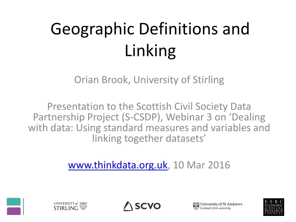
Geographic Definitions and Linking Orian Brook, University of Stirling Presentation to the Scottish Civil Society Data Partnership Project (S-CSDP), Webinar 3on ‘Dealing with data: Using standard measures and variables and linking together datasets’ www.thinkdata.org.uk, 10 Mar 2016
Scottish (and UK) Geographic Areas • Discuss geographic definitions and classifications • Introduce how to link them together using accessible online resources S-CSDP, 4 Mar 2016
Postcodes Originally just for delivering the post, now a multipurpose tool! Almost 150,000 in Scotland Postcode unit: G12 8QQ 17 households Postcode sector: G12 8 2,000 households Postcode district: G12 5,500 households Postcode area: G Very dynamic – building, demolition, no longer in use 220,000 current defined, new releases every quarter S-CSDP, 4 Mar 2016
Administrative Areas Output Areas – 55 households • smallest area for which Census data is released • designed to have approximately equal population in each • recalculated for every census • approx 55 households in Scotland Datazones – 377 households • Aka (in England & Wales) Super Output Areas • Larger statistical units, used for eg deprivation indices Other useful areas: • Wards, Parliamentary constituencies, health boards, Local Authorities, S-CSDP, 4 Mar 2016
How to they fit? Postcodes – a great example of administrative data! • Unit postcodes good enough match to administrative geographies (0.2% split between more than one OA) • But postcode sectors and larger are not – get full postcodes! • OAs fit perfectly into Datazones, and well enough into other administrative geographies • But other administrative geographies don’t fit into one another S-CSDP, 4 Mar 2016
Lookup basics using website www.doogal.co.uk – free tool introduced in last webinar S-CSDP, 4 Mar 2016
Linking postcodes to deprivation data http://www.gov.scot/Topics/Statistics/SIMD/SIMDPostcodeLookup - spreadsheets provided by Scottish Government S-CSDP, 4 Mar 2016