Understanding Latitude, Longitude, and Hemispheres for Geography
This guide explores key geographic concepts including lines of longitude and latitude, the Equator, Prime Meridian, and their significance in defining the Northern, Southern, Eastern, and Western Hemispheres. It covers cardinal and intermediate directions, map scales, and how to measure distances between locations. Examples include significant cities like Chicago and countries such as Sudan, illustrating geographic positioning. Ideal for students and enthusiasts to grasp foundational geography concepts and enhance their understanding of Earth's layout.

Understanding Latitude, Longitude, and Hemispheres for Geography
E N D
Presentation Transcript
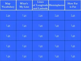
Map Vocabulary What’s My Line Lines of Longitude and Latitude Hemispheres How Far is Far 1 pt 1 pt 1 pt 1 pt 1 pt 1 pt 1 pt 1 pt 1 pt 1 pt 1 pt 1 pt 1 pt 1 pt 1 pt 1 pt 1 pt 1 pt 1 pt 1 pt 1 pt 1 pt 1 pt 1 pt 1 pt
The line of longitude that divides the earth into the Northern and Southern Hemispheres. It measures O degrees.
The line of longitude that is located at O degrees. It separates the Eastern and Western Hemishperes.
The line of longitude that is located at 180 degrees. It separates the eastern and western hemishperes.
Tells us how far north of the equator or how far south of the equator a place is located.
Tells us how far east of the Prime Meridan or how far west of the Prime Meridian a place is located.
The country located at 10 degrees north and 30 degrees east.
The city that is located at approximately 42 degrees north and 88 degrees west.
The approximate distance from West Palm Beach, Fl. To Cheyenne, Wyoming
The approximate distance from Salt Lake City, Utah to Topeka, Kansas