Download
1 / 15
180 likes | 403 Vues
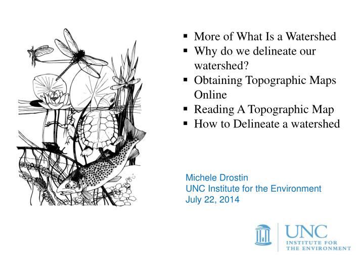
More of What Is a Watershed Why do we delineate our watershed? Obtaining Topographic Maps Online Reading A Topographic Map How to Delineate a watershed. Michele Drostin UNC Institute for the Environment July 22, 2014. WHAT IS A WATERSHED?.

E N D
More of What Is a Watershed • Why do we delineate our watershed? • Obtaining Topographic Maps Online • Reading A Topographic Map • How to Delineate a watershed Michele Drostin UNC Institute for the Environment July 22, 2014
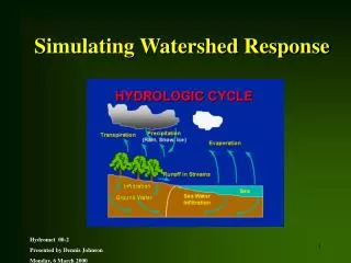
WHAT IS A WATERSHED? • The area of land that drains to a common outlet, such as a lake, river or stream segment. • Watershed boundaries are based on topography –highest points are ridges and lowest are valleys and streams. • Delineating a watershed provides a bounded area in which natural processes occur AND that people can see and communicate about.
All Land is part of a watershed Watersheds are “nested”
What Delineate your watershed and map the land uses and potential and actual pollution sources. Learn the geography and history of your water body and its watershed. Why The health of your stream, river, lake or estuary is directly impacted by land uses and activities in the watershed. You cannot study water without knowing about the land from which the water drains! When Every year the land uses in your watershed will change. This will have a direct impact on your water body of interest. MAPPING YOUR WATERSHED
POLLUTION SOURCES • Erosion/Sediment • Fertilizers, pesticides • Animal wastes • Illicit spills and illegal dumping • Leaking septic systems • Runoff from roads, parking lots and roofs
OBTAINING TOPOGRAPHIC MAPS Store.usgs.gov Map locator and Downloader
READING A TOPOGRAPHIC MAP • Contours are imaginary line that connects points of equal elevation. • Contours always connect but not always within the boundaries of your map. • Contour interval is the vertical distance between contours, generally 10 ft. • Contour lines never cross each other. • Contour lines close together indicate steep slope, farther apart, indicate gentle slope. • Direction of flow is always perpendicular to contour lines.
Hilltops • Ridge is an extension of the hill. • Saddle is a lower area, often on a ridge, between two hills. Where contour lines cross streams, they form a V that always points upstream.
STEPS TO DELINEATE WATERSHED • Place a circle at your outlet. • Highlight Jolly Branch and other unmarked low areas that appear to run into Jolly Branch. Follow V all the way until it ends. V indicates valleys or low areas. • Identify and mark all Valleys that may flow into Jolly Branch. • Now look for hill tops, ridge lines and saddles and mark high points with and X • Visualize water flow from direction of high points to determine if water would flow from there to your stream. • Connect high points, always crossing contours at right angles.