Download
1 / 11
150 likes | 389 Vues
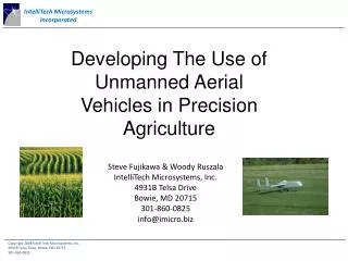
Developing The Use of Unmanned Aerial Vehicles in Precision Agriculture. Steve Fujikawa & Woody Ruszala IntelliTech Microsystems, Inc. 4931B Telsa Drive Bowie, MD 20715 301-860-0825 info@imicro.biz. Who Is IntelliTech Microsystems, Inc.?.

E N D
Developing The Use of Unmanned Aerial Vehicles in Precision Agriculture Steve Fujikawa & Woody Ruszala IntelliTech Microsystems, Inc. 4931B Telsa Drive Bowie, MD 20715 301-860-0825 info@imicro.biz
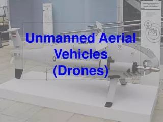
Who Is IntelliTech Microsystems, Inc.? • Charter Small business founded in 2003 specializing in the application of advanced technologies to aircraft, missiles, launch vehicles and spacecraft • People Principals Steve Fujikawa, Farshad Khorrami, Lanny Herron, Dave Yoel • Consultants Dr. George Sebestyen • Experience Manufacturer of Unmanned Aerial Vehicles • Vector P fixed wing • TERP Lightweight Military • Autopilot Avionics and Software • Collision Avoidance Systems • Marine Navigation Systems • Long History in Spacecraft and Rockets • Clients DARPA, Naval Research Lab, Orbital Sciences, AFRL, SMDC, Lockheed Martin, Space Dynamics Lab, AeroAstro, NASA Goddard Space Flight Center, Korea Aerospace Research Institute, Army Research Office, Office of Naval Research, Boeing, Raytheon, Royal Thailand Air Force, Cornell University
Product Areas Autonomous Boat Technology Vector-P Satellites and Space Technology Sky Jumper
CRADA work being done in association with: United States Department of Agriculture (USDA), Agricultural Research Service (ARS), Hydrology and Remote Sensing Lab (HRSL) in Beltsville, Maryland.
Concept: • Take aerial photographs of crops w/ specialized camera. • Cloudy days okay • No pilot or runway needed • Post-process image to calibration data to determine: • Nutrient level in soil • Insect presence • Disease • Geo-locate areas of need. • Load data to automated fertilizing machine • Near-pinpoint accuracy
Post-flight Ground station image Geolocation of Images
Infrared Aerial image of USDA test crop A Series of Near Infrared Images are taken in 5-7 micron wavelength. Nitrogen, Chlorophyll, Water, Soil Components have different reflectivities in these wavelengths
Normalized Difference Vegetation Index NDVIs are composites of two infrared images Plant Stress due to nutrient deficiency, drought, insect infestation are readily identified.
Benefits: • reduction in needed fertilizer and fertilizing supplies • increased crop production – esp. high-value crops • reduced environmental impact – esp. Chesapeake Bay
For more information: IMI – Steve Fujikawa or Woody Ruszala 301-860-0825 USDA – Ray Hunt or Dean Hively 301-504-5278 or 301-504-9031