Download
1 / 12
120 likes | 140 Vues
Analyzing property values and taxation in Olathe compared to surrounding areas, utilizing GIS techniques to display and categorize residential and commercial properties. Methods include selecting parcels, spatially joining with subdivisions, and creating visualizations. Future work includes archiving data for long-term analysis. Questions? Contact Chris Cannaday.

E N D
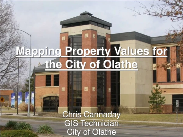
Mapping Property Values for the City of Olathe Chris Cannaday GIS Technician City of Olathe
Subdivision Property Values How do Olathe property values compare to surrounding cities?
The challenge: We needed one feature class with average property values for each subdivision We had……. • A subdivision feature class • A parcel feature class with individual property values
Methods • Select all the relevant parcels • Within Olathe • Single Family Residential • Improved values > $ 10,000.00 • Convert the selected parcels to points • Spatially join the points to the Subdivision feature class • Delete all subdivisions that don’t have at least one single family home • Use Field Calculator to get average property values for each Subdivision and to create categories
Nonresidential Property Taxation • Where are Olathe’s commercial properties? • What kind of tax assessments are they paying?
The Challenge We had the parcel feature class with everything we needed But……… • How to select the properties we wanted? • How to display properties that are taxed at different rates? • How to include properties that are going to be commercial but aren’t yet?
Methods • Select the parcels that are classified as Commercial, Vacant, Agriculture, or Exempt • Delete ROW’s, detention ponds, etc. • Separate out non-commercial (Ag, Vacant, etc.) and symbolize separately • Split the commercial properties into two feature classes (those taxed at the normal rate and those that aren’t)
Future Work • We are archiving both the maps and the associated files so we can look at property values and taxation over time • We have also created a Parcel Property Values Map to look at differences in property values within subdivisions