Download
1 / 18
180 likes | 188 Vues
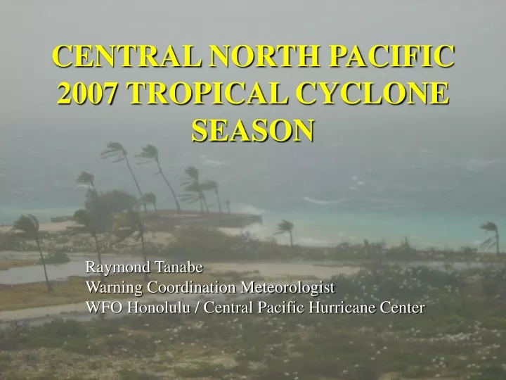
CENTRAL NORTH PACIFIC 2007 TROPICAL CYCLONE SEASON. Raymond Tanabe Warning Coordination Meteorologist WFO Honolulu / Central Pacific Hurricane Center. Central North Pacific 2007 Season Summary. No Tropical Cyclones formed in the Central Pacific Basin 6 Invest Areas

E N D
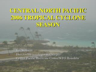
CENTRAL NORTH PACIFIC 2007 TROPICAL CYCLONE SEASON Raymond Tanabe Warning Coordination Meteorologist WFO Honolulu / Central Pacific Hurricane Center
Central North Pacific2007 Season Summary No Tropical Cyclones formed in the Central Pacific Basin • 6 Invest Areas Two Tropical Cyclones entered Central Pacific from the east • Tropical Depression Cosme - 19-24 July • Weakened to a tropical depression just prior to crossing 140W • Hurricane Flossie - 11-16 August • Entered Central Pacific as hurricane
Tropical Depression COSME • Entered Central Pacific Basin from east (15.1N 140W) with maximum winds of 30kt. • Remained at 30kt for two days then weakened and eventually opened up into a trough as upper low provided increasing shear • West-mover due to surface and mid level high • Remnants reached Big Island on 20 July and provided for localized heavy rainfall and thunderstorms
Hurricane FLOSSIE • Entered Central Pacific Basin from east (12.8N 140W) with maximum winds of 115kt • Category 4 between 12 UTC 11 August through 18 UTC 13 August • Hurricane Watch and Tropical Storm Warning issued for the Big Island of Hawaii • Tropical Storm force winds recorded at South Point • 20 to 25 foot surf along SE coast of Big Island
2007 Season Highlights • CPHC activated for 12 days • Track Forecast Errors • Marked improvement in 5 year running mean since 2004 • 92 nm error at 48 hours below FY07 GPRA goal of 110 nm • CPHC TC Mailing List – nearly 1000 subscribers • Watch and Warning Breakpoints for NW Hawaiian Islands • New Track and error cone graphics
Mahalo! • John Pavone for arranging Aircraft Reconnaisance one day earlier than originally scheduled • Chris Sisko for on the fly ATCF modifications • FEMA for proving Video Teleconference equipment
Ongoing Projects • Re-besting Tropical Cyclone Tracks and Updating Climatology for Central Pacific • Working with Dr. Pao-Shin Chu • Publication Pending • NCDC Data Rescue Project for CPHC archives • Storm Inundation Modeling for Hawaii