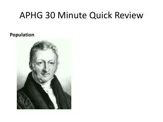
APHG
APHG. Chapter 1 Key Issue 1. Deep Thought. Globalization vs Local Identity What are some examples of each? What are the pros and cons of each? Is the world today a “ global village ” ? Are the two mutually exclusive?. Interactive Discussions. Expectations Purpose

APHG
E N D
Presentation Transcript
APHG Chapter 1 Key Issue 1
Deep Thought • Globalization vs Local Identity • What are some examples of each? • What are the pros and cons of each? • Is the world today a “global village”? • Are the two mutually exclusive?
Interactive Discussions • Expectations • Purpose • Contribution vs Dominance • Necessity of participation
Purpose of Maps • What 2 purposes? • Reference • Communication • Origins of maps • Babylonians • Aristotle—spherical Earth • Eratosthenes—”geography” • Ptolemy—1st Geography Text • Phei Hsiu—Father of Chinese Cartography • Al-Idrisi and Ibn-Battutah—mapped the Muslim Empire • Evolution of maps
A Little Perspective… • http://www.youtube.com/watch?v=cQVoSyVu9rk • http://www.youtube.com/watch?v=cuuluAq4TtU
Types of Maps • Remember any? • Most common--Mercator • Mercator controversy
Mercator Projection • 1569 • Used for ship navigation, constant course • Conformal • Small objects accurate, large objects distorted • Heavy distortion at poles
Compromise Robinson Projection • 1963 • Not equal area • Not conformal • Compromise Projection • Stretches poles
Interrupted Goode’s Homolosine • 1923 • Equal-area • Oceans interrupted • Land Masses are accurate size and shape
Proportional Symbol Map • Uses symbols of different size to represent data at different locations on the map
Choropleth • Shows statistical data by coloring or shading certain regions • Different colors show different concepts • Different saturation show quantitative differences
Dot Distribution/Density Map • Map that uses a dot symbol to show the presence of a feature or phenomenon
Sinusoidal Projection • East-West Scale is constant • Meridian lines should be the same • Equator distances are correct
Cartogram • A map where some thematic variable is substituted for land area or distance
Flow Lines Map • Mix of maps and flow charts • Show movement • Show direction • How much is flowing
Mollweide • Accurate representation of area • Some distortion of shape • Good for small maps depicting global distribution
Isoline • Iso is Greek for equal • Lines on a map describing the intersection of a surface with planes • Useful for many physical concepts such as wind, elevation, storms
Why are we changing maps? • http://www.youtube.com/watch?v=n8zBC2dvERM
Scale • The larger the number, the smaller the scale • Effects of scale
GPS/GIS • GPS-Global Positioning System • GIS-Geographic Information System • Uses? • Differences?
Cartograms • http://www.physicscentral.com/buzz/blog/index.cfm?postid=8485785988632534891 • http://show.mappingworlds.com/ • http://www.worldmapper.org/textindex/text_index.html