Download
1 / 16
170 likes | 668 Vues
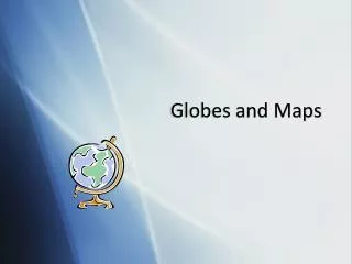
I. Globes and Maps. A. Globe - A scale model of the Earth. I. Globes and Maps. 1. Globe vocabulary. I. Globes and Maps. a. Grid – A pattern of imaginary lines that circles the globe in north-south and east-west directions. I. Globes and Maps.

E N D
I. Globes and Maps • A. Globe - A scale model of the Earth.
I. Globes and Maps • 1. Globe vocabulary
I. Globes and Maps • a. Grid – A pattern of imaginary lines that circles the globe in north-south and east-west directions.
I. Globes and Maps • b. Latitude – imaginary lines that run east-west and measure distances north and south of the equator. (parallels)
I. Globes and Maps • c. Equator – Imaginary line that circles the globe halfway between the north and south poles. (0 degrees)
I. Globes and Maps • d. Longitude – imaginary lines that run north and south and measure distances east and west of the Prime Meridian.
I. Globes and Maps • e. Prime Meridian - An imaginary line that runs through Greenwich, England and represents 0 degrees longitude.
I. Globes and Maps • f. hemispheres - the globe is divided into four hemispheres. • 1. Northern 3. Eastern • 2. Southern 4. Western
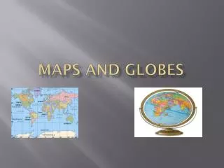
I. Globes and Maps • B. Map – • A flat diagram of all or part of the Earth’s surface.
I. Globes and Maps • 1. Map Title – indicates what information is shown.
I. Globes and Maps • 2. Key (legend) – Explains symbols, colors and lines on a map.
I. Globes and Maps • 3. Scale Bar- • Measuring line that helps to find distance on a map.
I. Globes and Maps • 4. Compass Rose – • Shows positions of cardinal directions.
Iqpoquosan.com interactive • Teachervision.fen.com ws