Modeling Hurricane/Landscape Interactions
Modeling Hurricane/Landscape Interactions. Louisiana Water Resources Research Institute Workshop Joseph Suhayda April 13, 2007. Background of Research. >25 Years in Applied Coastal Research in Louisiana Ongoing work with LSU/CLEAR

Modeling Hurricane/Landscape Interactions
E N D
Presentation Transcript
Modeling Hurricane/Landscape Interactions Louisiana Water Resources Research Institute Workshop Joseph Suhayda April 13, 2007
Background of Research • >25 Years in Applied Coastal Research in Louisiana • Ongoing work with LSU/CLEAR • Work with URS Corporation for USACE ERDC/NOD on LACPR (Literature Review and Algorithm) Evaluation and Surge Modeling ITR • Collaborators include: • Robert Twilley, LSU • Jenneke Visser, LSU • Denise Reed, UNO • John Lopez, Delta Science, LLC • Bob Jacobsen, URS Corporation
Improving Modeling of Hurricane/Landscape Interactions • Define the scientific complexity of interactions. • Establish DEM/Habitat Data Base. • Define dynamic landscape response. • Develop habitat based algorithms. • Improve numerical procedures – wave/surge, water/feature interaction, thresholds, and grid spacing.
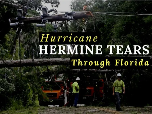
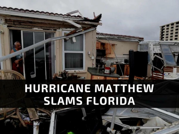
Hurricane Impacts • FORESTS – wind-throw, branch loss, snapped stems, uprooting, stem bending, and leaning. • MARSHES – Compression, sediment deposition, wrack deposition, scour, and erosion. • BARRIER ISLANDS – removal of sediment, breaching and overwash.
Landscape Effects • PRESSURE - Filling of storm before and after landfall, wind speed reduction. • WINDS - Downwind sheltering, stress reduction. • WAVES – Mud energy loss, bottom and vegetation friction. • CURRENTS - Bottom and vegetation friction.
Friction Bottom Friction Fb = .5 Cd ρ Ab U |U| Vegetation Friction Fv = ∑ ∑ Fi,j = ∑ ∑ .5 CD,i ρhi Di,j U |U| i= plant type, j= member hi= changing submerged height D= plant equivalent diameter
Bulk Friction Bulk Friction FB = (Cd Ab + n CD h D) .5 ρ U |U| Cd ~ .01 CD~ 1.0 Manning’s N N = [(Cd Ab/A + n CD D h/A) Rh1/3/29]1/2
Habitat Summary Table (Visser, 2007)
ADCIRC Manning’s Coefficient Table (Red Highlighted Items Not Used) Colored lines represent an average CLEAR Manning’s n *Land only likely to be built as FrMarsh, IntMarsh, BrckMarsh, SalMarsh, Barr_Isl, WetlandFor
Surge Reduction Issues • Dealing with the complexity of the landscape, man made structures and flooding patterns. • Accurately capturing the effects of coastal landscape features. • Accounting for resiliency of features.