Download
1 / 14
140 likes | 274 Vues
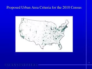
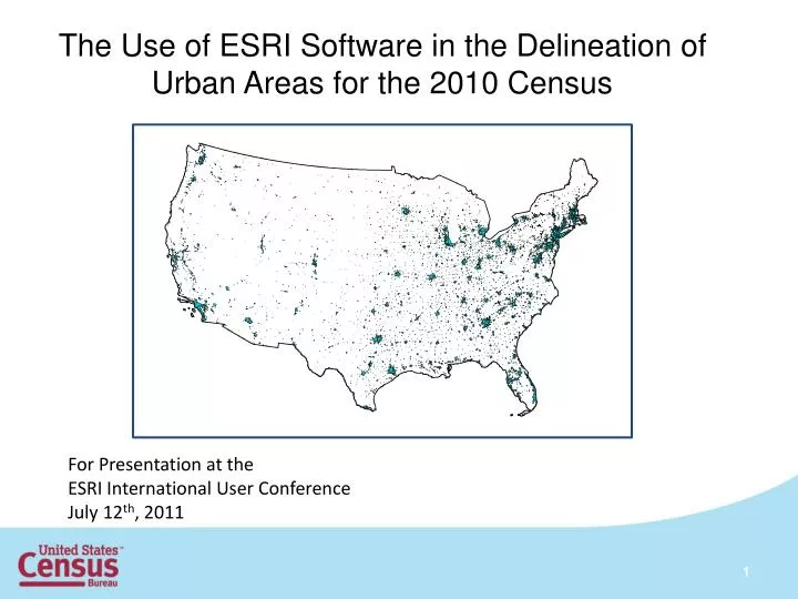
The Use of ESRI Software in the Delineation of Urban Areas for the 2010 Census. For Presentation at the ESRI International User Conference July 12 th , 2011. Urban Area Definitions.

E N D
The Use of ESRI Software in the Delineation of Urban Areas for the 2010 Census For Presentation at the ESRI International User Conference July 12th, 2011
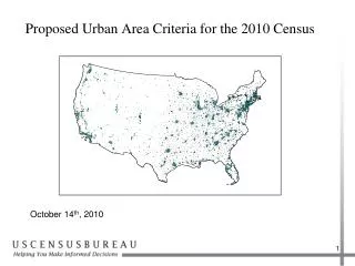
Urban Area Definitions • Represent densely developed territory, encompassing residential, commercial, and other non-residential urban land uses in which social and economic interactions occur. • Represent the “Urban Footprint” • Structure has been explicitly defined through measures based primarily on population counts and residential population density • Criteria have also accounted for non-residential urban land uses that are functionally part of the urban landscape
Hops and Jumps • Use ArcGIS Network Analyst • Connect urban territory through road connections of less than 0.5 miles for hops and 2.5 miles for jumps • Evaluate blocks on each side of connection to form highest density corridor
Post Hop/Jump Enclaves Less than or equal to 5 square miles, surrounded by qualifying land only
Post Hop/Jump Enclaves Less than or equal to 5 square miles, surrounded by qualifying land and non-qualifying water territory
Indentations • Use closure lines to close off areas that are indentations in the boundary. • The length of the closure line serves as the diameter of a circle. If four circles with the diameter fit into the indentation, we add territory to the UA. • If Ai ≥ 4π(½Li)2 and Ai ≤ 3.5 where Ai = area of indentation and Li = length of indentation closure line, then add the territory.
After Removal of Nonqualifying Cores and Inclusion of Indentations
Questions? Comments? Vincent Osier, Kevin Hawley, Chris Henrie, Ted Sickley Geographic Standards and Criteria Branch Geography Division U.S. Census Bureau Vincent.osier@census.gov (301) 763-9039