Download
1 / 18
180 likes | 325 Vues
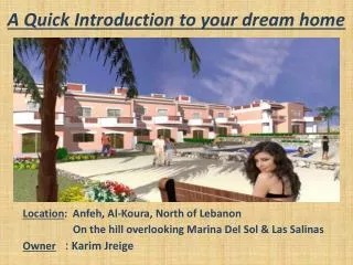
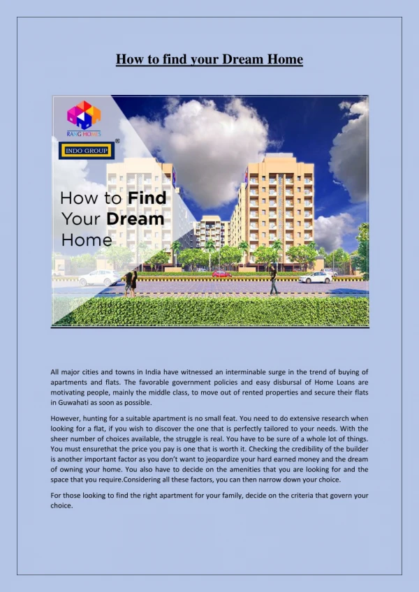
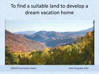
To find a suitable land to develop a dream vacation home. GEO376 Final Python Project Helen Peng May 2010. Brief Description.

E N D
To find a suitable land to develop a dream vacation home GEO376 Final Python Project Helen Peng May 2010
Brief Description • The Python script is to create vacation-home footprints in the suitable land where can see rivers and access by roads. • It is divided into two parts: one is to find suitable lands, the other is to create footprints polygons in the suitable land. • Original Data needed: DEM data River shapefile Major road shapefile Boundary Polygon GEO376 Final Python Project Helen Peng May 2010
Original Data collection • Original Data : DEM data River shapefile Major roads Boundary Polygon
Part 1: Created by Model Builder • In the first part, it defines three functions. • One function is to select proper roads and buffer roads with a certain distance. • The second function is to run viewshed analysis for a stream data and convert raster data to polygons. • The third function is to intersect road buffer and viewshed polygons, then select polygons with larger areas by calculating areas
Part 1.1 Define function to buffer roads • # Define function to clip and select proper roads, then buffer roads with a certain distance • def RoadBuffer(boundary_clip, tn_roads, roads_buffer, rds_select_querry, buffer_distance): • # Process: Clip • gp.Clip_analysis(tn_roads, boundary_clip, roads_shp, "") • # Process: Select • gp.Select_analysis(roads_shp, road_select, rds_select_querry) • # Process: Buffer • gp.Buffer_analysis(road_select, roads_buffer, buffer_distance, "FULL", "ROUND", "NONE", "") • print "Finished road buffer“ • try: • # Call RoadBuffer function to buffer selected roads • rds_select_querry = "FCC = 'A20' OR FCC = 'A30' OR NAME ='GREAT SMOKY MTNS %'" • buffer_distance = "150 Meters" • RoadBuffer(boundary_clip, tn_roads, roads_buffer, rds_select_querry, buffer_distance)
Road Buffer def RoadBuffer: Clip Select Select qurry = major roads Buffer buffer_distance = "150 Meters"
Part 1.2 Define function to run viewshed Analysis • # Define function to run viewshed analysis for a stream data and convert raster data to polygons • def StreamViwshed(boundary_clip, tn_streams, dem1, strm_select_querry, viewshed_poly): • # Process: Clip... • gp.Clip_analysis(tn_streams, boundary_clip, streams_clip, "") • # Process: Select... • gp.Select_analysis(streams_clip, streams_select, strm_select_querry) • # Process: Viewshed... • gp.Viewshed_sa(dem1, streams_select, viewshed_strm, "1", "FLAT_EARTH", "") • # Process: Set Null... • gp.SetNull_sa(viewshed_strm, viewshed_strm, setnull_view, "VALUE =0") • # Process: Reclassify... • gp.Reclassify_sa(setnull_view, "VALUE", "1 180 1", reclass_view, "DATA") • # Process: Raster to Polygon... • gp.RasterToPolygon_conversion(reclass_view, viewshed_poly, "SIMPLIFY", "VALUE") • try: • strm_select_querry = "\"STREETNAME\" LIKE '% Creek' OR \"STREETNAME\" = 'Little Pigeon River'" • StreamViwshed(boundary_clip, tn_streams, dem1, strm_select_querry, viewshed_poly)
Viewshed Analysis • The visible data represents in green. • Not-visible data represents in red.
Set Null • The value of visible data is more than 0 and not-visible data is equal to 0. • By running a SetNull tool, the step eliminated not-visible data.
Part 1.3 Define function to intersect • # Define function to intersect road buffer and viewshed polygon, then select polygons with larger areas by calculating areas • def IntersectCalSel (roads_buffer, viewshed_poly, area_querry, inputShp) • # Process: Intersect... • gp.Intersect_analysis(roads_buffer + ';' + viewshed_poly, view_intersect, "ALL", "", "INPUT") • print "intersect finished" • # Process: Calculate Areas • gp.CalculateAreas_stats(view_intersect, view_calculateareas) • print "calculate area" • # Process: Select polygons with larger area • gp.Select_analysis(view_calculateareas, inputShp, area_querry) • print "select suitable land“ • try: • # Call function of IntersectCalSel for roads_buffer, viewshed_poly • area_querry = "\"F_AREA\" >= 7.43E-06" • IntersectCalSel (roads_buffer, viewshed_poly, area_querry, inputShp)
Part 2 Create Footprints Polygons • In the second part, it reads centroids from the suitable land polygon shapefile, and create footprints polygons from centroids. • One is to read geometry features from the suitable land polygon, the other one is to create new footprint polygons. • # Create search cursor • cur = gp.SearchCursor(inputShp) • row = cur.Next() • # Describe the new feature class • desc = gp.Describe(outputShp) • shpFld = desc.ShapeFieldName • # Create Array, Point, and Cursor objects • pnt = gp.CreateObject("Point") • curr = gp.InsertCursor(outputShp) • a = 1
Part 2 Create Footprints Polygons • While loop is used to get each feature and an array is used to create a footprint. • while row: • # read a centroid from a polygon provided • feat = row.shape • centroid = feat.centroid • print "The midpoint/centroid is: "+ centroid • #split string, get x,y values • ctr = centroid.split(' ') • x = float(ctr[0]) • y = float(ctr[1]) • print a, x, y • #create array and draw the square from centroids, write x, y to excel/textfile • array = gp.CreateObject("Array") • pnt.x = x - 0.001 • pnt.y = y - 0.001 • array.Add(pnt) • txtFile.write(str(a) + "," + str(x) + "," + str(y)+ "\n") • …. a = a + 1 • row = cur.Next()