1 / 4

3D city modeling tool

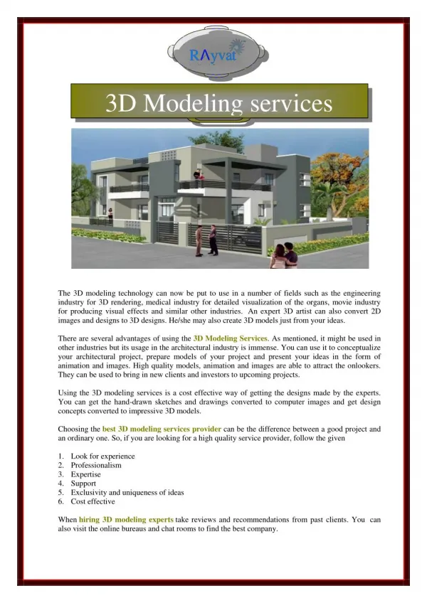
Urban environments are evolving at an unprecedented rate, making accurate planning tools more critical than ever. A 3D city modeling tool is transforming how architects, city planners, and developers visualize and simulate the future of urban spaces. These platforms combine geographic data, design inputs, and interactive technology to deliver immersive representations of cities in real time. Visit: https://3dcityplanner.com/en/demo/

Télécharger la présentation

3D city modeling tool

An Image/Link below is provided (as is) to download presentation Download Policy: Content on the Website is provided to you AS IS for your information and personal use and may not be sold / licensed / shared on other websites without getting consent from its author. Content is provided to you AS IS for your information and personal use only. Download presentation by click this link. While downloading, if for some reason you are not able to download a presentation, the publisher may have deleted the file from their server. During download, if you can't get a presentation, the file might be deleted by the publisher.

E N D

Presentation Transcript


  1. Unlocking Urban Futures: The 3D Cityplanner The 3D Cityplanner empowers urban stakeholders with integrated 3D modeling for complex urban issues, transforming spatial data into actionable insights for better decision-making.

  2. Feature Focus: Comprehensive Data Integration The 3D Cityplanner excels at bringing together a multitude of data sources, creating a holistic view of the urban environment. • Incorporates 100+ public data sources (census, zoning, utilities). • Seamlessly integrates proprietary data (BIM models, IoT sensors). • Supports industry-standard formats: ArcGIS, AutoCAD, Revit, QGIS. • Real-time updates from smart city sensor networks keep data current.

  3. Real-World Impact: Diverse Applications Policy Dev Policymakers Urban Developers Visualize zoning changes and assess public service impact. Optimize site selection and streamline permitting processes. Arch Mgmt Architects Managers Validate designs and analyze environmental performance efficiently. Monitor project progress and forecast urban growth for 5-10 years.

  4. Contact Us Address Phone Email StrateGis Groep BV +31 (0)33 3302510 info@strategis.nl Utrechtseweg 353811 NA Amersfoort

More Related