Download
1 / 7
70 likes | 245 Vues
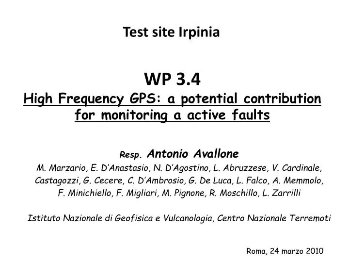
Test site Irpinia. WP 3.4 High Frequency GPS: a potential contribution for monitoring a active faults. Resp . Antonio Avallone M. Marzario , E. D’ Anastasio , N. D’Agostino, L. Abruzzese, V. Cardinale, Castagozzi , G. Cecere , C. D’Ambrosio, G. De Luca, L. Falco, A. Memmolo ,

E N D
Test site Irpinia WP 3.4High Frequency GPS: a potential contribution for monitoring a active faults Resp. Antonio Avallone M. Marzario, E. D’Anastasio, N. D’Agostino, L. Abruzzese, V. Cardinale, Castagozzi, G. Cecere, C. D’Ambrosio, G. De Luca, L. Falco, A. Memmolo, F. Minichiello, F. Migliari, M. Pignone, R. Moschillo, L. Zarrilli Istituto Nazionale di Geofisica e Vulcanologia, Centro Nazionale Terremoti Roma, 24 marzo 2010
Objectives • Set up of a first dense local CGPS network in Italy transmitting data in real-time for GPS seismology studies on a single active fault. • Epoch-by-epoch (kinematic) GPS data analysis using a geodetic-quality software • Capability to retrieve quick co-seismic mean displacements after the earthquake
Real-time CGPS network Data are acquired at both 1Hz and 30s sampling intervals and are transmitted in real time by satellite telemetry or GPRS/UMTS or WIFI technologies.
High-rate GPS data analysis (1/2) Despite traditional GPS data analysis (daily solutions), the high-rate GPS data analysis is based on processing data in kinematic mode providing a solution every recorded epoch. Higher the sampling rate = higher the solution rate The GPS data analysis has been performed using Gipsy/Oasis II software (developed at JPL, NASA) with the Precise Point Positioning strategy Example of 30s-sampled GPS time series for the Sumatra earthquake Red = North Green = East
High-rate GPS data analysis (2/2) • Example of 10Hz-sampled GPS time series for the L’Aquila earthquake • Red = North • Green = East • Blue = Up • For the first time: • 10Hz sampled PPP time series • GPS sites on the activated fault (“near source”) • Sampling rate > 1Hz are needed tostudy moderate magnitude events, as those in the Apennines • Avallone et al., in prep.
Quick co-seismic mean displacement detection To analyze GPS data, satellite orbits and clocks are needed. IGS final orbits and clocks: available with 12-18 days latency (every Thursday) IGS Rapid orbits and clocks: available with 17-41 hours latency (daily, at 17 UTC)
Conclusions We now are able to analyze high-rate GPS data to carry out earthquake source studies on a seismogenic fault We now could obtain a quick co-seismic mean displacement detection within about 1 day from the earthquake, without important loss of accuracy For the end of the project, we will: - investigate the capability of the 10Hz GPS data to detect the main aftershocks occurred after the L’Aquila mainshock - Explore the possibility to use IGS Ultra-rapid orbits to reduce the analysis latency (to about 3-4 hours) (main problem: satellite clock information are needed but not delivered…)