Project Airplane!
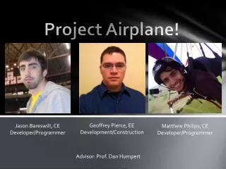
Project Airplane!. Geoffrey Pierce, EE Development/Construction. Jason Bareswilt , CE Developer/Programmer. Matthew Philips, CE Developer/Programmer. Advisor: Prof. Dan Humpert. Background.

Project Airplane!
E N D
Presentation Transcript
Project Airplane! Geoffrey Pierce, EE Development/Construction Jason Bareswilt, CE Developer/Programmer Matthew Philips, CE Developer/Programmer Advisor: Prof. Dan Humpert
Background • Autonomous vehicles have been growing in popularity for a number of years but lack viable uses in the real world and are often merely "proof-of-concept" type projects. The concept has been thoroughly demonstrated and we aim to introduce the autonomous plane as a commercial piece of equipment for obtaining wide-area aerial imagery.
Problem Statement • Aerial photography became a popular tool for people trying to gather information about an area, its geography, and other information. Unfortunately, these people are limited to a collection of images taken from satellites, which lack detail, or images taken by airplanes that have been made available online. When attempting to survey an unknown area, away from commercialization, it is very unlikely that any sort of detailed aerial photography will be available since aerial image providers focus mainly on densely populated areas.
Primary Objective • Primary Objective: To develop an autonomous unmanned airplane. • The airplane will be programmed to travel a desired flight path by relaying through given GPS coordinates. • Subgoal: to participate in the Sparkfun Autonomous Vehicle Competition
Secondary Objective • Secondary Objective: Creating a wide-area aerial image • A camera will be mounted to the underside of the airplane for the purpose of taking pictures. Using the GPS information for the flight path, the pictures will be stitched together to make a wide-area aerial image of the area over which the plane flew.