Download
1 / 73
730 likes | 741 Vues
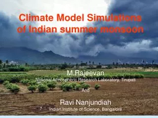
Summer Monsoon regimes of the World. Monsoon winds from Southern Hemisphere. Global Pressure Pattern in July. Onset of Monsoon dates over India. Wind shears in Monsoon. Monsoon means strong reversal of winds implying wind shear conditions, creating a hazardous flight environ

E N D
Wind shears in Monsoon • Monsoon means strong reversal of winds implying wind shear conditions, creating a hazardous flight environ • Winds at lower levels at 3000 to 5000 ft peninsular India experiences low level Jet streams
Westerly Winds 20 knots Aircraft suffers a ballooning effect on account of low-level jet stream Shear Zone 6000ft Low level westerly jet stream of 40 knots and more Temporary increase in airspeed giving a greater lift and significantly reduce the rate of decent and returning below the intended decent
Opposite situations will occur in winter with inversion of temperature over the helipad in association with foggy conditions Shear Zone Calm or light winds
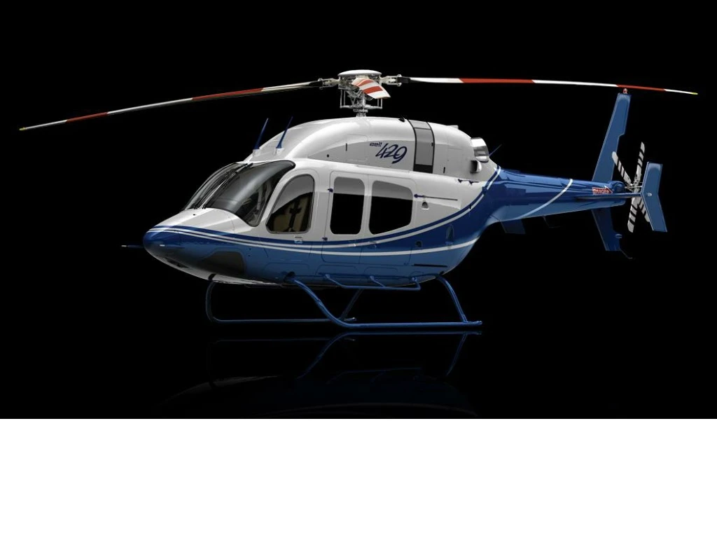
LATE CHIEF MINISTER, MR.Y.RAJASEKAR REDDY’S HELICOPTER CRASHhttp://www.youtube.com/watch?v=q3QeaKrdcXI&feature=fvwrel
Flight Regulation for Helicopters • The helicopters are strictly expected to fly only under VMC. • Due to circumstances beyond the control, sometimes the craft has to enter the cloud. • Hence some elementary knowledge of conditions for the formation of clouds and their identification, to be refreshed by the participants is desirable
The Formation of Clouds Cloud formation is associated with rising air Rising air cools adiabatically The air reaches its dew point Cloud is formed The form (shape) of the cloud depends upon the stability of the rising air Layer (stratiform) cloud forms in stable air Heaped (cumuliform) cloud forms in unstable air
Clouds can be categorized on the basis of the “lifting mechanism” that is the process which causes the air to move upwards
The formation of clouds • There are 4 categories: • Convection cloud • Orographic cloud • Turbulence cloud • Frontal cloud
Convection cloud • Air is heated at the surface • Air rises, cools adiabatically and reaches its dewpoint • Cumulus or cumulonimbus cloud forms
Convection cloud • Convection cloud can occur over land and sea • It often forms when cold air from high latitudes is moving southwards over the ocean • The rising air currents are called thermals
Orographic cloud • Air meets high ground • Air rises, cools adiabatically and reaches its dewpoint • Cloud can be stratiform (stable air) or cumuliform (unstable air)
Orographic cloud • The extent of the cloud depends upon the extent of the high ground • The height of the cloud is controlled by the height at which it reaches its dewpoint • Famous orographic clouds include the tablecloth and the levanter
Turbulence cloud • The air is travelling across a colder surface • The air moves upwards as part of the turbulence • The air cools by conduction at the surface and adiabatically as it rises • The cloud formed is stratus cloud
Frontal cloud • The warmer air rises upwards because it is less dense • The rising air cools adiabatically and reaches its dewpoint • The cloud will be Stform in stable air and Cuform in unstable air
Cloud Names Cirrus - Means a lock of hair or a tuft of horsehair Cumulus - Means an accumulation or a pile Stratus- Means to spread out, to cover a layer Nimbus – Means Rain
Cloud Classifications • Height • W.M.O. • Form • Formation
Cloud Base 3 – 18 km Classification by Height High Cloud Base 3 – 18 km Medium Cloud Base 2 – 8 km Low Cloud Base 0 – 2 km Cloud Base 0 – 2 km Great Vertical Extent
Genera High Clouds Cirrus Cirrocumulus Cirrostratus
Cirrus Detached clouds in the form of white, delicate filaments or white or mostly white patches or narrow bands. These clouds have a fibrous (hair-like) appearance, or a silky sheen, or both.
Cirrocumulus Thin, white patch, sheet of layer of cloud without shading, composed of very small elements in the form of grains, ripples, etc. merged or separate, and more or less regularly arranged, most of the elements have an apparent width of less than one degree.
Cirrostratus Transparent, whitish cloud veil of fibrous (hair-like) or smooth appearance, totally or partly covering the sky, and generally producing halo phenomena.
Genera • Medium Clouds • Altocumulus • Altostratus • Nimbostratus
Altocumulus White or grey, or both white and grey, patch, sheet or layer of cloud, generally with shading, composed of laminae, rounded masses, rolls etc. which are sometimes partly fibrous or diffuse and which may or may not be merged; most of the regularly arranged small elements usually have an apparent width between one and five degrees.
Altostratus Greyish or bluish cloud sheet or layer of striated, fibrous or uniform appearance, totally or partly covering the sky, and having parts thin enough to reveal the sun at least vaguely, as through ground glass. Altostratus does not show halo phenomena.
Nimbostratus Grey cloud layer, often dark, the appearance of which is rendered diffuse by more or less continuously falling rain or snow, which in most cases reaches the ground. It is thick enough throughout to blot out the sun. Low, ragged clouds frequently occur below the layer, with which they may or may not merge
Genera • Low Clouds • Stratocumulus • Stratus
Stratus Generally grey cloud layer with a fairly uniform base, which may give drizzle, ice prisms or snow grains. When the sun is visible through the cloud, its outline is clearly discernible. Stratus does not produce halo phenomena except, possibly, at very low temperatures. Sometimes stratus appears in the form of ragged patches.
Genera Clouds of Great Vertical Extent Cumulus Cumulonimbus
Cumulus Detached clouds, generally dense and with sharp outlines, developing vertically in the form of rising mounds, domes or towers, of which the bulging upper part often resembles a cauliflower the sunlit parts of these clouds are mostly brilliant white, their base is relatively dark and nearly horizontal. Sometimes cumulus is ragged.
Cumulonimbus Heavy and dense cloud, with a considerable vertical extent, in the form of a mountain or huge towers. At least part of its upper portion is usually smooth, of fibrous or striated, and nearly always flattened; this part often spreads out in the shape of an anvil or vast plume. Under the base of this cloud which is often very dark, there are frequently low ragged clouds either merged with it or not, and precipitation sometimes in the form of virga .
Classification by Form • Cirriform • Cumuliform • Stratiform