Download
1 / 19
200 likes | 367 Vues
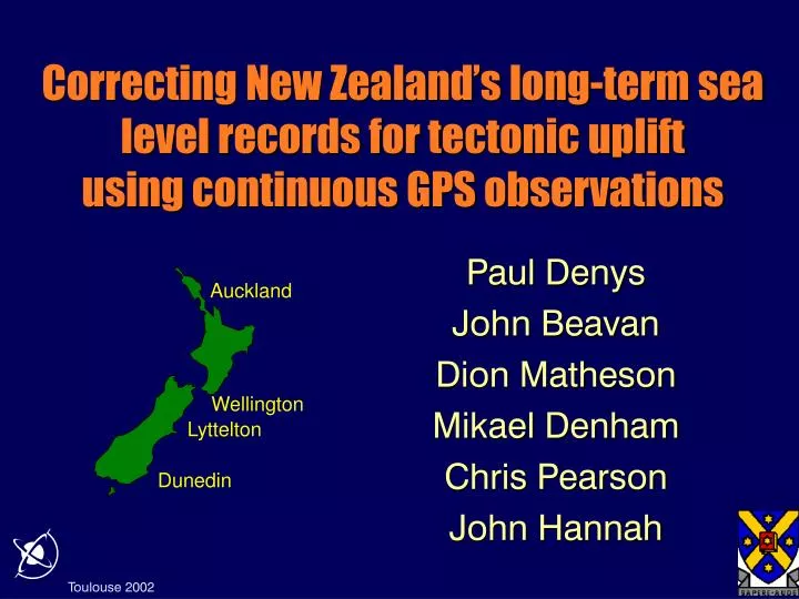
Correcting New Zealand ’s long-term sea level records for tectonic uplift u sing continuous GPS observations. Auckland. Paul Denys John Beavan Dion Matheson Mikael Denham Chris Pearson John Hannah. Wellington. Lyttelton. Dunedin. AUCK & TAKL. Sites with ~100 years of TG records

E N D
Correcting New Zealand’s long-term sea level records for tectonicupliftusingcontinuous GPS observations Auckland Paul Denys John Beavan Dion Matheson Mikael Denham Chris Pearson John Hannah Wellington Lyttelton Dunedin
AUCK & TAKL • Sites with ~100 years of TG records • CGPS close or collocated with TG recorders • But … Problems … • TG sites not stable • Possible GPS masking problems • High multipath environments • Requires careful monitoring WGTN & WGTT MQZG & LYTT OUSD & DUNT Paired CGPS and CGPS@TG sites
Local stability: TG pole/recorder to local benchmarks Regional stability: CGPS@TG to regional CGPS Tide Gauge Site Stability Monitoring
Ports of Auckland Tide Gauge and TAKL CGPS Station CGPS antenna (TAKL) • Located on Captain Cook Wharf, Auckland • Tide gauge measurement system uses microwaves reflected off sea surface beneath wharf • Reference surface of tide gauge is immediately adjacent to base of GPS antenna Tide Gauge mounted under this cover Base of antenna mast firmly bolted to wharf
Power Supply/ Battery charger Industrial PC on internet GPS receiver Back-up battery CGPS Receiver at Ports of Auckland
Automatic tide gauge Manual gauge Measuring system at Wellington float-type tide gauge
WGTT Continuous GPS Station Mast is attached through facing onto the main structural wall of the museum
HEIGHT CONNECTION from WELLINGTON TIDE GAUGE BENCH MARK (TGBM) to CONTINUOUS GPS (WGTT) • Install Temporary GPS (WGTA) • 50 m fromTGBMfor 24 hours every 3 months • Same antenna type and radome used at WGTT and WGTA • Level TGBMand WGTAseveral times during 24 hour period • GPS Baseline Processing • Troposphere variation solved atWGTTas part of regional network processing • Same troposphere variation assumed atWGTAas atWGTTwhen solving for the WGTT - WGTAheight difference • Another CGPS site, WGTN, is located in bedrock 5.5 km fromWGTT • Provides a check on the stability ofWGTT
Location of WGTT CGPS (at Te Papa) Temporary GPS used to tie between tide gauge BM and WGTT GPS levelling: temporary GPS to WGTT CGPS
Temporary GPS used to tie between tide gauge BM and WGTT Level Precise levelling: Wellington tide gauge to temporary GPS
Combined geodetic and GPS levelling resultsWellington tide gauge
Tide Gauge Hut and and GPS antenna Structure Stability Problems: Wooden Wharf at Lyttelton
TG recorder and tide pole CGPS@TG site Port Chalmers: Poor GPS Environment
SeaLeveltrue = SeaLevelmeasured +/- ??? Tide Gauge Mean Annual Sea Level Record: June 2002
CGPS installed at 4 long record TG locations CGPS collocated or within 600m Site stability monitored using a variety of methods Precise levelling to close BMs GPS “levelling” to regional CGPS and TG BM CGPS to CGPS @TG stability Baselines 4, 11, 12 & 27km Horz rms 2-3mm (excluding MQZG-LYTT) Vert rms 5-7mm Vert vel ~1mm/yr (excluding AUCK-TAKL) New Zealand’s CGPS @TG Project