Download
1 / 16
160 likes | 366 Vues
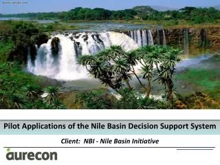
Pilot Applications of the Nile Basin Decision Support System Client: NBI - Nile Basin Initiative. Trans-Boundary Water Management in Africa Africa’s 63 trans-boundary river basins account for:. 1/3 of the World’s major international river basins

E N D
Pilot Applications of the Nile Basin Decision Support System • Client: NBI - Nile Basin Initiative
Trans-Boundary Water Management in Africa Africa’s 63 trans-boundary river basins account for: • 1/3 of the World’s major international river basins • 93% of the total African water resource • 77% of the Continent’s population
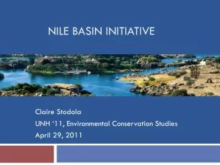
The Nile Basin - Facts • Longest River in World: 6700 km • Source : Burundi (Kagera River) • Basin Area: 3.2 million km2 (10% of Africa) • Basin shared by 11 countries: • Burundi, DRC, Egypt, Eritrea, Ethiopia, Kenya, Rwanda, South Sudan, Sudan, Tanzania, Uganda • Population: 190 million in basin (18% Africa) • Avg. flow rate at mouth : 84 billion m3/a
Nile Basin Initiative (NBI) • Nile Basin Initiative (NBI) - Formally launched in Feb 1999 by the water ministers of riparian countries that share the river - with Eritrea as an observer • Partnership among the Nile Riparian states that “seeks to develop the river in a cooperative manner, share substantial socioeconomic benefits, and promote regional peace and security” • Initiated seven Shared Vision Programmes • Investment projects under ENSAP and NELSAP
NB-DSS: Key focus areas • Result of comprehensive DSS needs assessment by the NBI :
NBDSS Developed by DHI in Phase 1 • Information Management System (IMS) supports storage, retrieval and processing of various types of data • Dynamic Water balance Model support analysis of the water resources system, reservoir operation, water quality modelling • Scenario management module supports creating, editing, running and analyzing water resources development and management scenarios • Optimisation module • Hydrological models supports estimation of land use/cover changes on water resources • estimation of climate change impacts on river flow • Hydrodynamic model • Economic analysis tools • Multi-criteria analysis tools support for identification of win-win development alternatives
Aurecon Project Objectives for Phase 2 • Overall • “to ensure that the NB-DSS becomes a reliable and sustainable software system” • Specific • to produce quality assured data sets that are relevant for NB-DSS applications • to apply the NB-DSS for pilot project cases that are relevant for trans-boundary water resources management in the Nile basin with real scenarios • to train stakeholders from the riparian countries in the application of the NB-DSS
Pilot Cases • 1. NELSAP Multi-Sectoral Investment Program – Focus on Kagera Basin • 2. Impacts of water resource developments on the Sudd • 3. Eastern Nile Joint Multipurpose Programme • 4. NELSAP Multi-Sectoral Investment Program - Focus on Equatorial Nile Basin • 5. Integrated Water Resources Development of the Baro-Akobo Basin • 6. Impact of Atbara-Tekeze River Upstream Developments on the Main Nile Downstream • 7. Integrated basin wide application of the NB-DSS 6 3 5 2 4 1
Scenarios • Cumulative developments / Development alternatives (3 to 5 per sub-basin) • Climate change (Blue Nile) • Operating rules • maximise HP • sediment control • environmental flows • optimise • Full basin development • Soil Loss / Sedimentation • Flood Damage - Lower Blue Nile
Scenario Evaluation: NB-DSS QA Data NB-DSS - Models NB-DSS : SCENARIO MANAGER SPREADSHEET MANAGER GIS MANAGER SCEN 1 SCEN 2 SCEN 3 QUANTIFY Response functions - DSS time series outputs Interrogation of Spatial Data – ArcGIS Economic Tools (CBA) External Data NB-DSS : SCENARIO MANAGER SCRIPT MANAGER TIMESERIES MANAGER SPREADSHEET MANAGER INDICATORS Environmental Social Economic DEFINE CRITERIA NB-DSS : MCA CBA NORMALISATION / WEIGHTING / LIMITS MCA