Download
1 / 16
160 likes | 170 Vues
Explore how wetland hydrology changes in an agricultural landscape under varying climatic conditions, with insights on biodiversity conservation. Study conducted in the Condamine catchment of Australia, analyzing wetland types and hydrological changes from 1987-2005 to 2000-2005. The research raises questions about the potential impact of climate change and human activities on wetlands and stresses the importance of understanding hydrological diversity for ecosystem resilience.

E N D
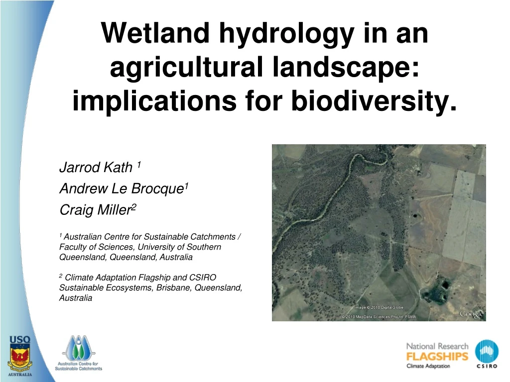
Wetland hydrology in an agricultural landscape: implications for biodiversity. Jarrod Kath 1 Andrew Le Brocque1 Craig Miller2 1 Australian Centre for Sustainable Catchments / Faculty of Sciences, University of Southern Queensland, Queensland, Australia 2 Climate Adaptation Flagship and CSIRO Sustainable Ecosystems, Brisbane, Queensland, Australia
Introduction - Landscape perspective • Australia’s floodplain landscapes are highly variable, both spatially and temporally. • Consist of a range of wetland habitats representing different hydrological conditions throughout landscape • Maintaining a range of wetland types is important for biodiversity throughout a landscape (Roshier et al., 2002; Amona et al., 2008).
Introduction – Research Question • How wetland hydrology changes across a landscape under changing climatic conditions, specifically drought conditions, is unknown. • Predicted by 2030 - 9% reduction in annual runoff (CSIRO, 2008). • This study investigates changes in the hydrology of wetlands in an agricultural landscape between 1987-2005 and 2000-2005 (dryer climatic period) to examine how wetlands may change through time under changing climatic conditions.
CHINCHILLA DALBY TOOWOOMBA WARWICK CHINCHILLA SCENE n =105 DALBY SCENE n = 75 WARWICK SCENE n = 71 Study area Figure 1 The Condamine catchment, showing the location of the 251 wetlands across the three regions - Chinchilla, Dalby and Warwick.
Wetlands in Condamine Catchment >2000 wetlands (QEPA, 2008) significant vegetation loss (Fensham & Fairfax, 1997) and hydrological changes (Thoms & Parsons, 2003). altered wetland hydrology (Thrupp & Moffat, 2001) ring tanks (10%) levees (27%) channels (20%) water pumps (14%)
Methodology • wetland hydrology variables derived from an annual snapshot of wetland from satellite data (1987-2005) • based on these metrics for • - inundation frequency • - variability (how often switch from wet to dry) • - duration of longest wet and dry periods • wetlands categorised (to examine changes ín frequency of wetland types) • also, anlaysed as continous data (to examine overall changes to collective wetland hydrology) 6
Wetland hydrological classification Table 1 Response variables for wetland hydrology used for analysis. Metrics derived from QWBD (2005) metadata for wetlands in the Condamine catchment. *only calculated for the Chinchilla sub-region
Inundation frequency * ** Figure 3Number of wetlands in each ordinal category for TI1987-2005 and TI2000-2005 for the entire region and for each sub-region. Inundation frequency: (■) rarely inundated; (■) intermittently inundated; (■) frequently inundated.
Inundation frequency * Figure 3Number of wetlands in each ordinal category for TI1987-2005 and TI2000-2005 for the entire region and for each sub-region. Inundation frequency: (■) rarely inundated; (■) intermittently inundated; (■) frequently inundated. 9
Confidence intervals Figure 5 Chinchilla region confidence intervals comparing (a) Longest dry, (b) Longest wet and (c) Variability across three different time periods. (c) 10
Confidence intervals Figure 5 Chinchilla region confidence intervals comparing (a) Longest dry, (b) Longest wet and (c) Variability across three different time periods. (a) 11
Confidence intervals Figure 5 Chinchilla region confidence intervals comparing (a) Longest dry, (b) Longest wet and (c) Variability across three different time periods. (b) 12
Hydrological changes: finding #1 • Overall increase in rarely inundated wetlands & reduction in intermittent wetlands • however, only significant in the Chinchilla sub-region • differences between sub-regions may be consequence of different (localised) land use practices. • Dalby and Warwick sub-regions were historically and are currently far more heavily utilized for agriculture. • more irrigated agriculture and less native vegetation (QEPA, 2003)
Hydrological changes: finding #2 • in Chinchilla sub-region, wetlands dryer or wetter for longer and overall wetlands less variable • – represents a significant change in hydrological regime • Brock et al., (1999) argue that many wetlands remaining in agricultural landscapes have water regimes altered in such a way that their ‘stability’ is increased, so that they are more continuously either dry or wet. • implications for biodiversity and ecosystem resilience?
Conclusions • could have substantial implications for overall landscape biodiversity • climate change and anthropogenic activities may intensify these changes in the future • future research should examine how hydrological diversity changes in a landscape and link this to biodiversity and other socio-ecological values
Acknowledgements Acknowledgements: Megan Batterham, Kate Reardon-Smith, Dr Jerry Maroulis, ACSC, QMDC, CA, QEPA, & landholders of the Condamine Supported by: APA Postgraduate Research Scholarship CSIRO Top up Scholarship (Climate Adaptation Flagship)