The Azores: A European Maritime Hub
Explore the history, geography, and maritime features of the Azores archipelago, enhancing European maritime policy. Discover fishing ports, whale-watching, energy from waves, and more. Learn about regional governance, sustainable fishing practices, and the role of insular regions in European maritime affairs.

The Azores: A European Maritime Hub
E N D
Presentation Transcript
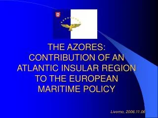
THE AZORES:CONTRIBUTION OF AN ATLANTIC INSULAR REGION TO THE EUROPEAN MARITIME POLICY Livorno, 2006.11.06
History Since the beginning of the XV century…
…nine desert islands… …violent storms and natural disasters…
Geography 2350 Km2 1500 Kms from Lisbon 3900 Kms from North America
Area of São Miguel island = 750 Km2 Area of Corvo island = 17 Km2 Distance between Santa Maria and Corvo = 600 Kms
Exclusive Economic Zone Azores EEZ = 984.300 Km 2
Big Game fishing http://www.atlantic-sportfisheries.com/galeria
Energy derived from waves http://www.pico-owc.net/
How can these nine European islands - with a vast EEZ and wide costal area, distant from the mainland and from each others and, consequently, with an indispensable relation with the sea – contribute and act on their own maritime matters ?
What has been done by Regional Government authorities in the Azores regarding sea maters?
www.horta.uac.pt Sea bottoms
Fishing Protected Areas Fajãs of São Jorge island
What role for regions in European maritime affairs?
THE GREEN PAPER ON EUROPEAN MARITIME POLICY
Fisheries Foto Luís Quinta
Investigation www.horta.uac.pt
Energy *Pico Island: Wave Power Plant
THANK YOU FOR YOUR ATTENTION! GOVERNO DOS AÇORES Gabinete do Secretário Regional da Presidência Direcção Regional dos Assuntos Europeus e Cooperação Externa draece@azores.gov.pt www.azores.gov.pt