Download
1 / 9
90 likes | 244 Vues
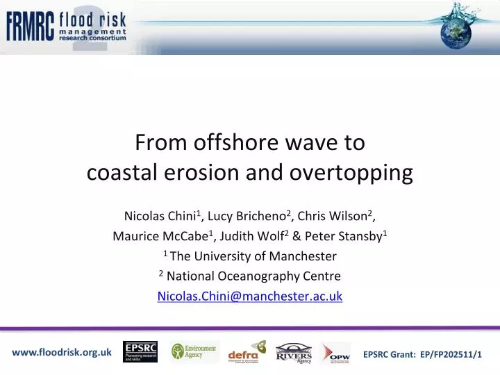
From offshore wave to coastal erosion and overtopping. Nicolas Chini 1 , Lucy Bricheno 2 , Chris Wilson 2 , Maurice McCabe 1 , Judith Wolf 2 & Peter Stansby 1 1 The University of Manchester 2 National Oceanography Centre Nicolas.Chini@manchester.ac.uk. Context and Motivations.

E N D
From offshore wave to coastal erosion and overtopping Nicolas Chini1, Lucy Bricheno2, Chris Wilson2, Maurice McCabe1, Judith Wolf2 & Peter Stansby1 1 The University of Manchester 2 National Oceanography Centre Nicolas.Chini@manchester.ac.uk
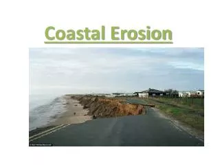
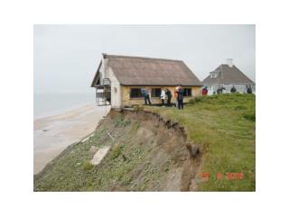
Context and Motivations • Operational Modelling Systems • Predicting offshore extreme conditions • But missing nearshore physical processes • Need to downscale the offshore predictions in order to assess water levels and wave conditions at the toe of the sea defence • Creation of an integrated modelling system and application to the November 2007 event that causes £170,000 worth damages at Walcott on the East Coast
Simulation of nearshore conditions • Comparison with field measurements • Estimation of the nearshore conditions off Walcott for the overtopping modelling
Long term coastal wave modelling • Tyndall Coastal program • GHG emission scenario : A1B From 1960 to 2100 Scatter plot of water level and significant wave height over 140 years off Walcott without including SLR
Extreme value joint probability Scatter plot of water level vs SWH including joint probability isolines in 2100 without slr and showing the location of the nov 2007 event (red point) The same but with 1m SLR in 2100
Conclusions • A model has been set up and validated to transfer wave parameters towards the shore including the effect of varying water depth, requiring small computational times. • Regional modelling of water levels is sufficient for predicting nearshore conditions • Assessment of climate change scenarios and SLR impacts on nearshore wave conditions • Analyses of climate change and SLR impacts on cliff recession (SCAPE) • Simulation of the nearshore conditions for 2007 event at Walcott inputs for overtopping modelling
The research reported in this presentation was conducted as part of the Flood Risk Management Research Consortium with support from the: Engineering and Physical Sciences Research Council Department of Environment, Food and Rural Affairs/Environment Agency Joint Research Programme United Kingdom Water Industry Research Office of Public Works Dublin Northern Ireland Rivers Agency Data were provided by the EA and the Ordnance Survey. Acknowledgement