Download
1 / 22
220 likes | 344 Vues
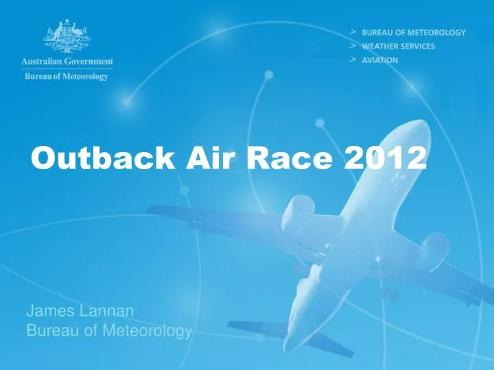
Outback Air Race 2012. James Lannan Bureau of Meteorology. Perth to Darwin…via the rest of Australia…. Perth to Ceduna: Mid latitude weather. Ceduna Charleville Darwin Mid latitude weather initially Tropical weather (~ North of Longreach, QLD; ~23.5 ºS) Darwin Perth

E N D
Outback Air Race 2012 James Lannan Bureau of Meteorology
Perth to Darwin…via the rest of Australia… • Perth to Ceduna: • Mid latitude weather. • Ceduna Charleville Darwin • Mid latitude weather initially • Tropical weather (~ North of Longreach, QLD; ~23.5ºS) • Darwin Perth • Tropical weather initially. • Mid latitude weather to finish (~South of Newman; ~23.5 ºS. This boundary will be discussed later). Mid Latitude Weather: Covered mostly in the “Flying the Southwest” Tropical Weather: Covered by the “Flying the Tropics”
What should you expect? • Mid Latitude Weather: Southern Australia (~South of 23.5ºS; ~ South of Alice Springs) • Cold fronts/Low pressure systems. • Turbulence. • Fogs. • Thunderstorms. • Fires (mostly controlled burns) • The Tropics: Northern Australia (~ North of Alice Springs) • Will still be dry season. Well timed! • Bushfires/Burning off programs. • Dust. • Possible turbulence. • Fogs and Thunderstorms possible but unlikely.
Satellite Observations Satellites provide 24 hour information on development and movement of weather systems Infra-Red Images – detect temperaturesExcellent for viewing broadscale weather patterns in motion 8
Weather Radar Observations Images provide warnings of major weather events such as thunderstorms, tropical cyclones and areas of heavy rainfall 9
Cold Fronts – Southern Aus • Mainly affect southern half of Australia, however can trigger weather further north. • Hazards: • Thunderstorms and showers, hail possible • Low cloud and low visibility in rain. • Strong winds • Fog the night or two after a frontal passage.
Northwest cloud bands: - Entire route. • Warm moist tropical air moving southeast over continent. • Large systems, often associated with a cold front. • Large vertical and horizontal extent of cloud. • Hazards: • Low cloud. • Embedded thunderstorms • Fogs. • Rain
Turbulence/Nocturnal low level jets. • Low-level jets – Wind shear • Inland tropical areas during winter. Eg: Mount Isa, Tennant Creek, Halls Creek. • Occur mainly below 3000ft above ground level. • Wind speeds typically ~25 knots, 50kt possible. • Turbulence • Thermals • Rough guide: if surface temperatures >30º • Any hilly/mountainous areas can contain turbulence, ie: Perth escarpment, McDonnell Ranges. • Cold Fronts can contain strong wind shear/turbulence.
Fogs/low cloud • Mainly form in coastal areas, however if a northwest cloudband or cold front has passed through, central areas susceptible as well. • Sea fogs common around Gulf of Carpentaria coast. • Clear by mid-morning.
Dust Storms • Usually observed in inland areas during the dry season. • Generally in the order of 6-8km width. • Visibility may be <300m. • Often linked to a cold front passing over southern Australia. • Dust devils also possible, visible vortices with small diameter (<100m). May extend up a few thousand feet. Take-offf/Landing hazard.
Smoke • Dry season = Burning off season. • Controlled burns. • Low visibility in thick smoke. • Sentinel – Geoscience Australia.
Morning Glory cloud • Quite rare, but would be incredible to see! • Often form in the late dry, commonly near Burketown. • Prevailing SE’ly wind mixes with sea breeze off Gulf of Carpentaria. • Wind squall/wind shear often present.
Aviation Forecasts & Warnings:Aerodrome Forecast (TAF) • Forecast weather is expressed using the following abbreviations:
Aviation Forecasts & Warnings:SIGMET • SIGMETs are issued to advise of the occurrence or expected occurrence of the following phenomena:
Please ensure you… • Obtain the latest aviation observations, forecasts, warnings and charts from the briefing system • Telephone the Bureau for a more elaborative briefing, when appropriate • Pay attention to media weather presentations and reports. • A useful site for looking up ongoing fires burning around the country: http://sentinel.ga.gov.au/acres/sentinel/
For More Information …www.bom.gov.au • 1. Weather & Climate information • 2. Capital City Forecasts • 3. Images & Charts • 4. Aviation Weather Services