Download
1 / 17
170 likes | 329 Vues
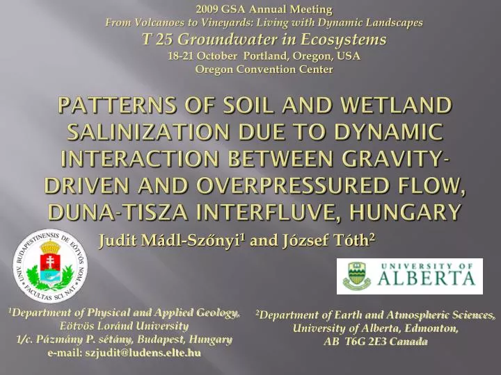
2 009 GSA Annual Meeting From Volcanoes to Vineyards: Living with Dynamic Landscapes T 25 Groundwater in Ecosystems 18-21 October Portland, Oregon, USA Oregon Convention Center.

E N D
2009 GSA Annual Meeting From Volcanoes to Vineyards: Living with Dynamic Landscapes T 25 GroundwaterinEcosystems 18-21 October Portland, Oregon, USAOregon Convention Center Patterns of Soil and WetlandSalinizationduetoDynamicInteractionbetweengravity-drivenandoverpressured flow, Duna-Tisza Interfluve, Hungary Judit Mádl-Szőnyi1 and József Tóth2 1Department of Physical and Applied Geology, Eötvös Loránd University 1/c. Pázmány P. sétány, Budapest, Hungary e-mail: szjudit@ludens.elte.hu 2Department of Earth and Atmospheric Sciences, University of Alberta, Edmonton, AB T6G 2E3 Canada
Outline • Objectives • The StudyArea • Database and Methods • Results Groundwater Flow Pattern Water and Soil-Salinity • Interpretationin a SchematicPattern • Summary and Conclusion
Objectives Background: The Duna-Tisza Interfluve is plaguedbysoil and wetlandsalinization. Goals of thestudy: 1. What is thesource of thesalts? 2. Whatarethecontrols and mechanisms of theirdistributionpattern?
The StudyArea 1 Physiography 80-95 m asl 2-3 m 80-95 m asl 2-3 m 100-130m asl 3-4 m Kelemenszék Lake Kolon Lake Locations of data, sections and pressure profiles (Mádl-Szőnyi and Tóth 2009, Fig. 2)
The StudyArea 2Geology Generalized hydrostratigraphic section, Great Plain, Hungary (Tóth and Almási, 2001, Fig. 8, based on Juhász, 1991, Fig. 7)
Database and Methods • Major datatypes:waterlevels, porepressuresfromwater- and hydrocarbonwells, chemicaldatafromwater-andhydrocarbonwells, lithologicsamples, petrophysicalandgeologicalbore-holelogs, seismicsections, ecologicallandscapedata. • Methods: - hydrostratigraphicevaluation, analysis of groundwaterflow-distribution; maps, sections and p(z) profileswereproduced. - chemicalevaluation; only Na+, Cl- and TDS contentwereconsidered. - ecological and soilevaluation; ecological site map.
ResultsGroundwater Flow Pattern 1 Deep regional sections (Mádl-Szőnyi and Tóth, 2009, Fig. 4) ALGYŐ AQUITARD Deep regional sections (Mádl-Szőnyi and Tóth 2009, Fig. 4b)
ResultsGroundwater Flow Pattern 2 Izsák- Kolon Lake SUBHYDROSTATIC GRADIENT HYDROSTATIC GRADIENT SUPERHYDROSTATIC GRADIENT Pressure profile: Izsák (Mádl-Szőnyi and Tóth 2009, Fig. 8c) Seismic section: Ki-3 (Mészáros, 2005, Fig. 6.6.)
ResultsGroundwater Flow Pattern 3 SUBHYDROSTATIC GRADIENT HYDROSTATIC GRADIENT Detailed local section: hydrostratigraphy and hydraulics (Mádl-Szőnyi and Tóth 2009, Fig. 6)
ResultsWater and Soil-Salinity 1 Evaluation of groundwater salinity for hydrostratigraphic units (Mádl-Szőnyi and Tóth 2009, Table 1)
ResultsWater and Soil-Salinity 2 Duna Valley TDS:>2000 mg/l, Cl-:>500 mg/l TDS: <500 mg/l Cl-:<30 mg/l Detailed local section: hydrostratigraphy and Cl-, TDS content of groundwater (Mádl-Szőnyi and Tóth 2009, Fig. 10)
ResultsWater and Soil-Salinity 3 Duna Valley Shallow groundwater chemistry map (modified from Kuti and Kőrössy 1989, Mádl-Szőnyi and Tóth, 2009 Fig. 12) Ecological site map (Mádl-Szőnyi and Tóth, 2009, Fig. 13)
InterpretationIn a SchematicPattern The Duna-Tisza Interfluve Hydrogeological Type Section (Mádl-Szőnyi and Tóth 2009, Fig. 14)
Summary and Conclusion 1 1. Sources of the salts: • NaCl type water, TDS: 10 000-38 000 mgL-1 from the Pre-Neogene basement. • NaHCO3 typewater, TDS: 420-2 500 mgL-1 in the Neogene sediments. • The two water mix, with basement origine Cl- beeng a natural tracer of deep water at shallower depths.
Summary and Conclusion 2 2. Mechanism of salt distribution: • Gravitational flow-systems of meteoric fresh water are perched hydraulically upon the rising salt waters. The hydraulic interaction between the two regimes controls the transport routes to, and distribution of the salts at, the land surface. 3. Distribution pattern: • Salinity distribution at the surface is explained by the tectonically driven cross-formational rise of deep saline waters channeled in and mixed with fresh waters by near-surface sediments and gravity flow-systems.
Acknowledgment • The authors are pleased to acknowledge the assistance and contributions received from the following agencies and individuals for data and logistical support: the Kiskunság National Park (A. Iványosi-Szabó); the Institutes for Soil Science and Agricultural Chemistry, and Ecology and Botany (Zs. Bakacsi, Zs. Molnár) of the Hungarian Academy of Sciences. Gy. Pogácsás, Associate Professor, Eötvös Loránd Science University (ELTE). • L. Máté; K. Nyúl; Sz. Simon; R. Varga, F. Zsemle, B. Czaunerformer students of ELTE, kindly contributed results from their graduate theses. • The researchwassupportedbytheHungarian OTKA grant No. T 047159 to J. Szőnyi-Mádl, and theCanadianNaturalSciencesandEngineering Research Council’s „Discoverygrant” No. A-8504 to J. Tóth.
Thankyou foryourAttention !