Download
1 / 12
120 likes | 223 Vues
Explore Federal land dispersion across the US, comparing forest distribution to population and environmental factors nationally and statewide. Utilize GIS tools and data manipulation to analyze forestry resources.

E N D
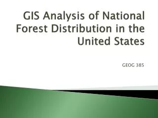
GIS Analysis of National Forest Distribution in the United States GEOG 385
Introduction • What? • Look at the dispersion of Federal Land across the US • Compare distribution of forests to population and environmental factors on a nationwide and statewide scale • Why this? • Forestry Resources Major • Interested in geography and natural resources
Methods • Data • Most Data from Forest Service and ArcGis Online • Shapefiles—added in layers • Data Manipulation • Layer formatting • Mean Center and Central Feature Tools • Changing projections • Clipping
Results: Overview • Dispersion • More in North • National land primarily in Western half • Humans • East Coast more than West • Denser populations along coasts • Less in forests • Environmental Factors • Coasts and mountains • Oregon • Mostly same trends as above