Download
1 / 6
60 likes | 96 Vues
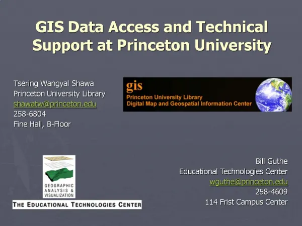
Explore GIS data access and remote sensing training opportunities at Princeton University. Learn about ArcGIS tools, Census data integration, and map-making with ArcMap. Join short afternoon sessions to enhance your GIS skills.

E N D