Patrina Bly
SPATIAL ASSESSMENT OF THE GULF OF MEXICO & CORAL REEF FISHERIES WITH AN EMPHASIS ON THE 2010 DEEPWATER HORIZON OIL SPILL . Patrina Bly Educational Partnership Program Elizabeth City State University, Elizabeth City, North Carolina DOC/NOAA/NMFS/SEFSC MENTOR: Carlos Rivero. Outline.

Patrina Bly
E N D
Presentation Transcript
SPATIAL ASSESSMENT OF THE GULF OF MEXICO & CORAL REEF FISHERIES WITH AN EMPHASIS ON THE 2010 DEEPWATER HORIZON OIL SPILL Patrina Bly Educational Partnership ProgramElizabeth City State University, Elizabeth City, North Carolina DOC/NOAA/NMFS/SEFSCMENTOR: Carlos Rivero
Outline • Deepwater Horizon • Objective/Background Information • Methodology • GIS Components/Application • Conclusion • Future Applications • Acknowledgments • Questions
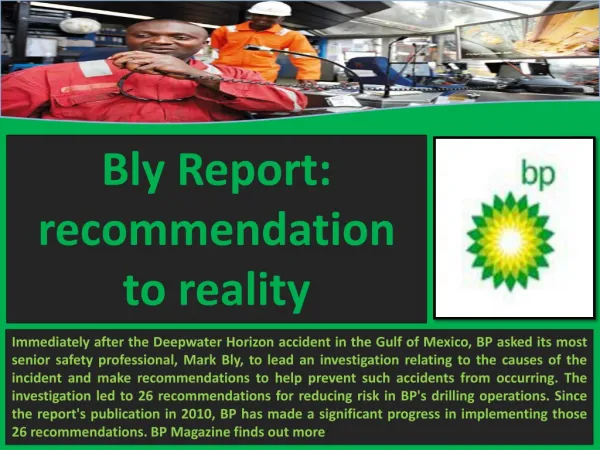
Deepwater Horizon On April 20, 2010, an explosion occurred on the British Petroleum operated Deepwater Horizon drilling platform situated about 40 miles from the coast of Louisiana. On July 15, 2010, a temporary stop to the oil spill occurred with the placement of a cap. Relief wells are currently underway to provide a permanent cease to the flow.
Objective Through the development of a spatial application, an assessment using GIS was made to view the extents of the 2010 Deepwater Horizon oil spill. Key components found within the application include: NOAA National Marine Sanctuaries Fishery Closures Oil Extents Deepwater Horizon incident Vessel Monitoring System Data Shoreline
Environmental Factors • Deep Sea Corals • Found at depths just beneath the surface to the abyss (2000 m), where water temperatures may be as cold as 4° C • Lophelia & Oculina • extensive deep-water communities that attract commercially important species of fish, making them susceptible to destructive bottom trawling practices • NOAA National Marine Sanctuaries • Florida Keys National Marine Sanctuary • Flower Garden Bank National Marine Sanctuary
Vessel Monitoring System The Vessel Monitoring System is an expansive system regulated by the NMFS Office of Law Enforcement Information that can be found within the VMS database includes, USCG radio number, vessel name position, and average speed
Methodology • DataSources • National Oceanic and Atmospheric Administration • NMFS • Closures • Permitting data/Fishery Codes • Vessel Monitoring System (VMS) • Benthic Specified Fisheries • Roffer's Ocean Fishing Forecasting Service, Inc. • a scientific consulting company based in Miami and West Melbourne, Florida (U.S.A.) that is involved with fisheries oceanography, environmental science, and satellite remote sensing. • Software • ESRI® ArcMap™ 9.3.1 • Oracle 11g SQL Developer • Microsoft Access 2003
Conclusion …A Lack of access to recent permitting information within PIMS prevented a comparison of the most current fishing data with previous years. However, assuming that fishing activity is spatially static from year to year, we were able to identify the overlap between last years fishing activities and this years oil spill extent…
Future Applications • Oil Extents • VMS data • Export/Import • Current fishery data • Statistical Analysis • At Risk Coral Communities • Yearly Assesment