Download
1 / 13
130 likes | 302 Vues
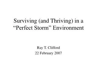
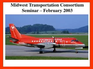
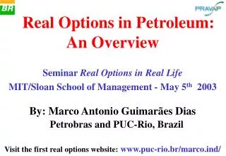
Fig 12a. R/V Roger Revelle. Seminar on Space and the Environment • 27 - 28 February 2003. Fig 12b. 620 ARGO Floats, as of January 2003. Multi-tiered System. Seminar on Space and the Environment • 27 - 28 February 2003. Figure 13. time. centuries. Repeat Trans-basin Sections.

E N D
Fig 12a R/V Roger Revelle • Seminar on Space and the Environment • 27 - 28 February 2003
Fig 12b 620 ARGO Floats, as of January 2003 Multi-tiered System • Seminar on Space and the Environment • 27 - 28 February 2003
Figure 13 time centuries Repeat Trans-basin Sections decadal Shipboard Time-Series Inter annual Moored Time-Series VOS surface pCO2 Remote sensing seasonal daily Process Studies hourly space Ocean Basin 1 m2 1 km2 Regional (106 km2) Globe
20˚N LATITUDE 0˚ 20˚S Figure 14 344 346 348 350 352 354 356 358 360 362 364 366 368 20˚N LATITUDE 0˚ 20˚S 180˚W 120˚W 60˚W 0˚ 60˚E 120˚E 180˚E 180˚W 120˚W 60˚W 0˚ 60˚E 120˚E 180˚E LONGITUDE
Fig 19 MODIS Ocean Chlorophyll • Seminar on Space and the Environment • 27 - 28 February 2003
Surface observation pCO2 nutrients Eddy-covariance flux towers Ocean time series Biogeochemical pCO2 Water column inventories Coastal studies Biomass soil carbon inventories Fig 22 Georeferenced emissions inventories Atmospheric measurements Remote sensing of Atmospheric CO2 Data assimilation link optimized model parameters Atmospheric Transport model optimized Fluxes Climate and weather fields Ocean carbon model Terrestrial carbon model rivers Lateral fluxes Ecological studies Remote sensing of Vegetation properties Growth Cycle Fires Biomass Radiation Land cover /use Ocean remote sensing Ocean colour Altimetry Winds SST SSS
Other implementation : WMO-GAW Representatives of National Programmes GOOS IGCO Implementation Team GTOS UNFCCC SBSTA IGBP-WCRP-IHDP CEOS Global Carbon Project Guidance ; Oversights Implementation Data providers Input from Users Groups Fig 22