Download
1 / 8
100 likes | 815 Vues

E N D
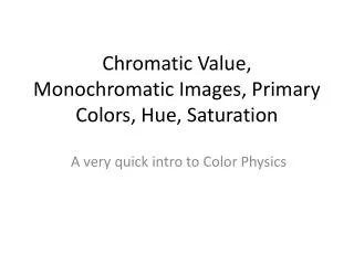
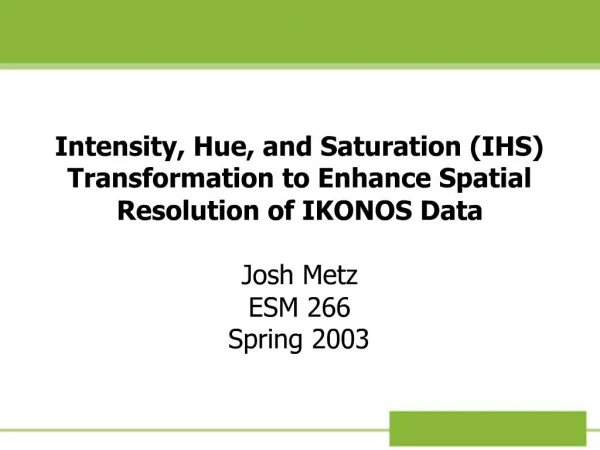
1. Intensity, Hue, and Saturation (IHS) Transformation to Enhance Spatial Resolution of IKONOS Data Josh Metz
ESM 266
Spring 2003
2. Problem Tahoe Regional Planning Agency (TRPA) desires to use high-resolution IKONOS satellite imagery to map near-shore lakebed substrate
Possible to improve spatial resolution of multi-spectral data using mathematical transformation
3. IKONOS Data Multi-spectral data acquired in the visible and near-infrared at 4m spatial resolution
Panchromatic data acquired simultaneously at 1m spatial resolution
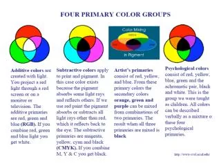
4. Intensity, Hue, Saturation (IHS) An alternative representation of visible spectrum
Images represented by:
Intensity (brightness)
Hue (color)
Saturation (grayscale)
Colors closer to natural human perception (vs RGB)
5. IHS Transformation IKONOS Bands:
1 (blue)
2 (green)
3 (red)
4 (NIR)
Only use 3 bands in HIS transformation
Chose bands 4, 2, 1 (shorter = deeper H20 penetration, NIR = brighter)
IKONOS Bands:
1 (blue)
2 (green)
3 (red)
4 (NIR)
Only use 3 bands in HIS transformation
Chose bands 4, 2, 1 (shorter = deeper H20 penetration, NIR = brighter)
6. Image Fusion Data Processing Steps (ERDAS Imagine 8.4):
Image subset
11-bit to 8-bit conversion
RGB to IHS
Replace Intensity band with Panchromatic band
Reverse IHS Transformation
7. RGB to IHS
8. IHS to RGB
9. Conclusion IHS transformation is useful for enhancing the spatial resolution of IKONOS data from 4m to 1m
Improving the spatial resolution should help identify smaller variation in surface features for lake substrate mapping