Download
1 / 9
90 likes | 215 Vues
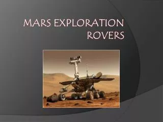
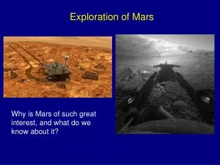
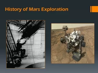
Mapping Apparent Porosity of Surficial Rocks Discovered By the Mars Exploration Rovers. By: Shane DePinto (NAU, Geophysics) Mentored by: Chris Okubo (USGS, Astrogeology). The Big Picture. Research on Mars helps us to understand the geologic history and past habitability of the planet

E N D
Mapping Apparent Porosity of Surficial Rocks Discovered By the Mars Exploration Rovers By: Shane DePinto (NAU, Geophysics) Mentored by: Chris Okubo (USGS, Astrogeology)
The Big Picture • Research on Mars helps us to understand the geologic history and past habitability of the planet • Understanding porosity of rocks on Mars provides insight into potential hydrologic conditions in the past and the mechanical strength of these crust materials
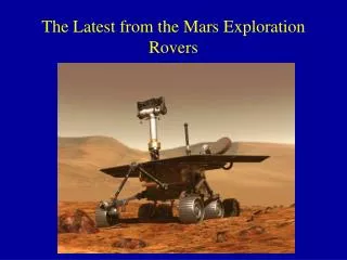
How We did it… • During the early part of its mission, the Mars Explorer Rover Opportunity (MERB) ground and brushed in situ rock samples (45mm x 5mm) to remove weathering effects and loose sediment • Its Microscopic Imager (MI) was used to take series of photos of each sample • I compiled a database of MI data over the sample sites using the MER Analyst Notebook (a public database) and prepared/analyzed them
My Data • Mosaicked photos from each site together • Overlaid transparent layers on top and then deleted all apparent pore space from surface • Compared pixel data from unaltered overlay layer and altered overlay to calculate apparent visible porosity for each sample
Example: Sol 1182 300x magnification
Analysis • I analyzed a total of 7 samples • The samples had apparent porosities ranging from 20.4%-59.61% • The porosity values are a bit high compared to Earth sedimentary porosity values, which are typically less than 20% • Porosities as high as 50% are not unheard of, especially in evaporite-rich sediments • The Mars rocks I analyzed are evaporite-rich sandstone • Turns out Martian rocks are similar to Earth’s
Problems that I found • They stopped doing it! • Sometime between sol 1316-1373… • Lighting is variable between photos and that makes analysis difficult • Porosity is a 3-dimensional aspect and analyzing it from a 2-D perspective is not extremely accurate
Conclusions • It appears as if Martian sedimentary rocks have a similar structure to Earth’s sedimentary rocks • This means cool things! Engineering aspects possibly, and verification of some of our geologic principles
Acknowledgements • Thanks to my Mentor Chris Okubo! You were extremely helpful in every stage of this project and helped me with all questions • Thank you NASA • Thanks NAU • Thank you Space Grant Symposium • Questions?