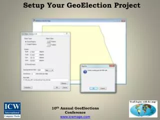
Setup Your GeoElection Project
Join us for the 10th Annual GeoElections Conference, where you can learn to effectively set up your GeoElection project. This conference focuses on leveraging geographic data to improve election processes. Engage with experts, explore innovative tools, and discover best practices for utilizing the 2010 Census geography in your election planning. Together, we can enhance electoral integrity and voter participation through advanced mapping techniques. Don't miss out on this opportunity to network and expand your knowledge!

Setup Your GeoElection Project
E N D
Presentation Transcript
Setup Your GeoElection Project 10th Annual GeoElections Conference www.icwmaps.com
Setup Your GeoElection Project 10th Annual GeoElections Conference www.icwmaps.com
Setup Your GeoElection Project 10th Annual GeoElections Conference www.icwmaps.com
Setup Your GeoElection Project 10th Annual GeoElections Conference www.icwmaps.com
Setup Your GeoElection Project 10th Annual GeoElections Conference www.icwmaps.com
Setup Your GeoElection Project 10th Annual GeoElections Conference www.icwmaps.com
Setup Your GeoElection Project http://election.dos.state.fl.us/candidate/parties.shtml 10th Annual GeoElections Conference www.icwmaps.com
Setup Your GeoElection Project 10th Annual GeoElections Conference www.icwmaps.com
Setup Your GeoElection Project 10th Annual GeoElections Conference www.icwmaps.com
Setup Your GeoElection Project The End Any Questions? Working With 2010 Census Geography In Elections www.icwmaps.com