Download
1 / 11
110 likes | 302 Vues
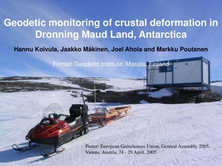
Geodetic monitoring of crustal deformation in Dronning Maud Land, Antarctica. Hannu Koivula, Jaakko Mäkinen, Joel Ahola and Markku Poutanen Finnish Geodetic Institute, Masala, Finland. Poster: European Geosciences Union, General Assembly 2005, Vienna, Austria, 24 - 29 April, 2005.

E N D
Geodetic monitoring of crustal deformation in Dronning Maud Land, Antarctica Hannu Koivula, Jaakko Mäkinen, Joel Ahola and Markku Poutanen Finnish Geodetic Institute, Masala, Finland Poster: European Geosciences Union, General Assembly 2005, Vienna, Austria, 24 - 29 April, 2005
Study Program Study program Study Area GPS Absolute gravity Near-field snow and ice Results Schedule 2005 – Summary & conclusion Partners Crustal deformation in DML • Permanent GPS station(s) • Vertical and horizontal motion • Repeated absolute gravity • Vertical motion • changes in dencity distribution • Grace • regional estimates of variation in total mass • CryoSat • Surface elevation change
Study area Study program Study Area GPS Absolute gravity Near-field snow and ice Results Schedule 2005 – Summary & conclusion Partners
GPS Study program Study Area GPS Absolute gravity Near-field snow and ice Results Schedule 2005 – Summary & conclusion Partners
Absolute gravity Study program Study Area GPS Absolute gravity Near-field snow and ice Results Schedule 2005 – Summary & conclusion Partners
Absolute gravity Study program Study Area GPS Absolute gravity Near-field snow and ice Results Schedule 2005 – Summary & conclusion Partners
Near-field snow and ice Study program Study Area GPS Absolute gravity Near-field snow and ice Results Schedule 2005 – Summary & conclusion Partners
Results Study program Study Area GPS Absolute gravity Near-field snow and ice Results Schedule 2005 – Summary & conclusion Partners
Schedule 2005 - Study program Study Area GPS Absolute gravity Near-field snow and ice Results Schedule 2005 – Summary & conclusion Partners • GPS 2003 - • Absolute gravity • Aboa • 1994, 2001, 2004, 2006, 2008 • Sanae IV, Novolazarevskaya • 2004, 2006, 2008 • Svea, Troll ??
Summary & conclusion Study program Study Area GPS Absolute gravity Near-field snow and ice Results Schedule 2005 – Summary & conclusion Partners • GRACE will provide regional estimates of variation in total mass i.e. the sum of mantle flow of the Glacial Isostatic Adjustment and contemporary ice mass balance. • In the near future, CRYOSAT will monitor surface elevation change. • FGI continues gravity & GPS program
Summary & conclusion • absolute gravity, CGPS, Cryosat, and GRACE all sense past and/or present changes in the ice mass. Study program Study Area GPS Absolute gravity Near-field snow and ice Results Schedule 2005 – Summary & conclusion Partners • They however have shortcomings and observational errors, and are also sensitive to other signals: say, tectonics (gravity, GPS) or variation in atmospheric and ocean mass (GRACE). • Using them in combination provides powerful redundancy checks and the possibility to estimate/eliminate unwanted signals and modelling errors.