
AATS Measurements for Ozone, Water Vapor, and Aerosols: Validating Satellite Data Products
This document presents a comprehensive overview of measurements made by NASA's Airborne Tracking Sunphotometers (AATS) targeting ozone (O3), water vapor (H2O), and aerosols. It includes comparative analysis of AATS data against other satellite retrievals, showcasing its role in validating and enhancing satellite-derived atmospheric products. Key findings include detailed comparisons of AATS-measured columnar ozone, layer water vapor retrievals, and aerosol optical depth. The collaboration between NASA Ames Research Center and Pacific Northwest National Laboratory is also detailed, emphasizing the future of airborne spectrometry.

AATS Measurements for Ozone, Water Vapor, and Aerosols: Validating Satellite Data Products
E N D
Presentation Transcript
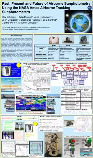
Examples of AATS measurements of O3, H2O, and aerosols and their use to validate satellite data products Top row: O3 [Livingston et al., 2005]: Comparison of columnar ozone retrieved from AATS-14 measurements on the DC-8, 21 Jan 2003. AATS-14 (gray) and DIAS (green) ozone above DC-8 altitude, and AATS-14 (black), along-track GOME (blue) and near-track TOMS (red) total column ozone. Middle row: H2O [Livingston et al., 2007a]: Comparisons of AIRS and AATS retrievals of layer water vapor in AIRS retrieval layers (LWVA) for AIRS retrievals with Qual_Temp_Profile_Bot = 2 and within 80 km of an AATS vertical profile measured on the J-31. (a) Means (open circles with solid lines) and ranges (dashed lines) of AIRSand AATS LWVA profile retrievals, numbers of AIRS and AATS retrievals at each altitude; (b) absolute AIRS-minus-AATS LWVA biases and RMS differences; (c) % biases and RMS differences. Bottom row: aerosol optical depth (AOD) [Livingston et al., 2007b]: comparison of OMI on Aura (MW and UV retrievals), MODIS on Aqua and AATS, 10 Mar 2006. Publications using AATS data to validate data products from satellite sensors or their airborne simulators AATS Major Field Campaigns since 1996 ARCTAS, 2008 TARFOX, 1996CLAMS, 2001INTEX-A, 2004 ACE-Asia, 2001 AIOP, 2003ALIVE, 2005 SOLVE II, 2003 ADAM, 2003EVE, 2004 ACE-2, 1997 PRiDE, 2000 INTEX-B, 2006 SAFARI, 2000 Satellite Instruments Compared To AATS AODs MISR Aerosol Optical Depth (558 nm), March 2006 • ATSR-2 • AVHRR • GMS-5 • GOES-8 • GOME • MISR • MAS* • MODIS-Aqua • MODIS-Terra • OMI • RSP* • SeaWiFS • TOMS *Airborne Simulator of Satellite Instrument 4STAR:Spectrometer for Sky-Scanning,Sun-Tracking Atmospheric Research Improve H2O, O3 Add NO2 Thus improve AOD Simultaneous spectra yield airborne profiles of aerosol type via Aeronet-like retrievals Zeiss MCS CCD spectrometer AERONET-like • Phase function • Size mode distributions • nre(l), nim(l) • Single-scattering albedo • Asymmetry parameter • Shape • Hence aerosol type Quasi-monolithic, no moving parts, ceramic body, Range: 250-1016 nm, Resolution ~ 2 nm • AATS-14 - like • column and profiles • Aerosol • H2O • O3 Design Concept for Airborne Version of 4STAR Radiance calibrations of 4STAR at NASA ARC and Cimel at NASA GSFC are in excellent agreement. Comparison of 4STAR and AATS-14 sun tracking shows head-to-head stability within 1% over a range of solar zenith angle. Processing 4STAR data with Aeronet retrieval code yields near match with co-located Cimel. Past, Present and Future of Airborne Sunphotometry Using the NASA Ames Airborne Tracking Sunphotometers Roy Johnson1, Philip Russell1, Jens Redemann2, John Livingston3, Stephanie Ramirez2, Beat Schmid4, Connor Flynn4, Stephen Dunagan1 1NASA Ames Research Center, 2Bay Area Environmental Research Institute, 3SRI International, 4Pacific Northwest National Laboratory INTRODUCTION Since 1985, the NASA Ames Airborne Tracking Sunphotometers (AATS-6 and -14) have made extensive measurements of atmospheric constituents via their effect on the Sun’s direct-beam transmission through the atmosphere. These AATS measurements are used extensively to validate and supplement satellite retrievals of stratospheric and tropospheric constituents, to validate airborne and ground-based LIDAR data products, to characterize horizontal and vertical distributions of gas and aerosol properties, to study closure (consistency) with in situ samplers aboard many aircraft, to test chemical-transport models, and to study the radiative effects of atmospheric constituents and Earth surfaces that are important to both climate and remote measurements. A collaboration between NASA Ames Research Center and Pacific Northwest National Laboratory is underway to develop a prototype airborne spectrometer capable of sky radiance measurements in addition to observations of the direct solar beam. To date this collaboration has yielded a ground based instrument called the Spectrometer for Sky-Scanning, Sun-Tracking Atmospheric Research (4STAR-G). 4STAR – The Future Based on AATS - AATS-like sun tracking and motion control - Direct-beam sun irradiance and sky radiance vs. angular distance from the sun. - Spectrometers allow many more wavelength channels, and with finer resolution. - Improved measurements of H2O, O3, and aerosols in the stratosphere and troposphere, while enabling measurements of additional gases such as NO2. - AERONET-like measurements from aircraft.


