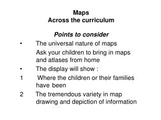
Maps Across the curriculum
70 likes | 163 Vues
Engage children in the universal nature of maps, from personal value to historical significance. Encourage map-making, exploring known places, and using symbols. Utilize resources like atlases and local map collections to enhance their spatial awareness. Explore the diverse ways maps communicate information and inspire creativity through drawing and depicting various terrains. Utilize tools like route cards and symbols, including emoticons, to foster spatial comprehension. Discover the beauty and richness of maps and their significance in communicating and navigating our surroundings.

Maps Across the curriculum
E N D
Presentation Transcript
MapsAcross the curriculum Points to consider The universal nature of maps Ask your children to bring in maps and atlases from home The display will show : 1 Where the children or their families have been 2 The tremendous variety in map drawing and depiction of information
Picture Maps Aboriginal Map of territory
Maps and Map making Maps are the oldest mode of communicating • To route find, • explore for food • warmth and shelter Early cave drawings; drawings on animal shoulder bones; parchment, clay – and paper • Now see how many maps you can make of places in and around school
Using maps as inspiration 1 Personal value of known places Using symbols Including Emoticons to reveal spatial understanding and feelings http://www.geography.org.uk/projects/valuingplaces/cpdunits/thinkmaps
Getting Started 1 Create Route cards - round school e.g. for newcomers Source BBC Fact Finder ‘Maps’
Getting Started 2 Make a route card round the locality : Ref BBC Fact Finder ‘Maps’
Development • Draw freehand maps of places known to the children • Then use maps and aerial photographs of places known and unknown to the children • Look at the present landscape then see how it was viewed in the past in photo and painting • Visit map collections • Local History collection Ask at your nearest library • National Map collections Royal Geographical Society http://www.unlockingthearchives.rgs.org/teacherslounge/visit.aspx