Download

1 / 10
100 likes | 196 Vues
Presentation to accompany Scientific Investigations Map 3080. Land Area Change and Overview of Hurricane Impacts in Coastal Louisiana, 2004-08. By John A. Barras. Suggested citation:

E N D
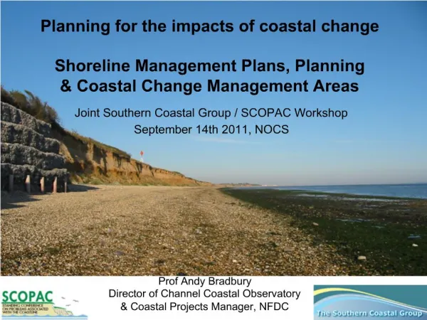
Presentation to accompany Scientific Investigations Map 3080 Land Area Change and Overview of Hurricane Impacts in Coastal Louisiana, 2004-08 By John A. Barras Suggested citation: Barras, J.A., 2009, Land Area Change and Overview of Hurricane Impacts in Coastal Louisiana, 2004-08U.S. Geological Survey Scientific Investigations Map 3080, scale 1:250,000, 6 p. pamphlet. See pamphlet for references cited. U.S. Department of the Interior U.S. Geological Survey
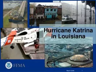
Land Area Change and Overview of Hurricane Impacts in Coastal Louisiana, 2004-08
Land Area Change and Overview of Hurricane Impacts in Coastal Louisiana, 2004-08 Deltaic Plain Lake Pontchartrain Lake Borgne Chandeleur Sound Breton Sound Barataria Bay Terrebonne Bay Gulf of Mexico West Bay East Bay
Land Area Change and Overview of Hurricane Impacts in Coastal Louisiana, 2004-08 Marginal Deltaic Plain Vermilion Bay West Cote Blanche Bay Freshwater Bayou Gulf of Mexico Atchafalaya River Gulf of Mexico Atchafalaya Bay
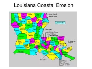
Land Area Change and Overview of Hurricane Impacts in Coastal Louisiana, 2004-08 Chenier Plain Sabine Lake Calcasieu Lake Grand Lake White Lake Gulf of Mexico Freshwater Bayou Gulf of Mexico
Figure 1. Net land area change by period and physiographic province in coastal Louisiana, 2004–08.
Figure 2. Net land area change in coastal Louisiana, 1956–2008. The net decrease in land area is estimated at 3,841 km2. Estimates of land area change from 1956 to 1978 and 1978 to 2004 are from Barras (2008).
Conclusion Although the net reduction in land from 2004 to 2008 (849.5 km2) exceeds that from 1978 to 2004 (743.3 km2) (Barras, 2008), it is likely that the 2004–08 estimate will decrease given time for the coast to recover from those hurricane seasons. Nevertheless, it is likely that the cumulative loss from these hurricane seasons will remain significant. Estimation of permanent losses cannot be made until several growing seasons have passed and the transitory impacts of the hurricanes are accounted for.