Download
1 / 31
310 likes | 533 Vues
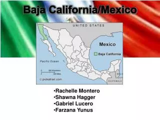
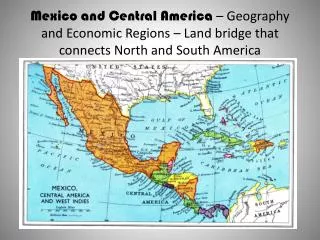
Baja California and the Sea of Cortez. Tijuana. Ensenada. San Felipe. San Quintin. El Rosario. Bahia de Los Angeles. Guerrero Negro. Santa Rosalia. Mulege. Bahia Concepcion. Bahia Magdalena. La Paz. Cabo San Lucas. Geology of Baja California.

E N D
Tijuana Ensenada San Felipe San Quintin El Rosario Bahia de Los Angeles Guerrero Negro Santa Rosalia Mulege Bahia Concepcion Bahia Magdalena La Paz Cabo San Lucas
Pacific Plate moves NW past N. American Plate • San Andreas fault between
Early Miocene: • Part of shore or underwater • Some mountains as islands tropics Murphy, 1983 as quoted in Grismer, unpublished
Middle Miocene: • Mountains rose • Mainland subsided • Gulf began to form • S. peninsula separated from mainland, became island tropics Murphy, 1983 as quoted in Grismer, unpublished
Late Miocene: • Mountain chains connected, forming a contiguous peninsula tropics Murphy, 1983 as quoted in Grismer, unpublished
Miocene-Pliocene: • Rapid tectonic activity • Pacific plate moved north • Mountains rose more • Sea level rose, isolating south end • Gulf extended far north tropics Murphy, 1983 as quoted in Grismer, unpublished
Late Pliocene-Present: • Mountain uplift • Desertification • Gulf regressed • Temporary land bridges to islands tropics Murphy, 1983 as quoted in Grismer, unpublished
Gúzman Cortez 1535 Becerra 1533 Cortez Mendoza 1532
English map 1641
Vizcaino 1596 Cabrillo 1542 Vizcaino 1602 Cavendish 1586 Mendoza galleons 1542 Francis Drake 1578
California Province Caribbean Province Panamic Province
California Province Panamic Province Caribbean Province Gulf Invertebrates: • 21% endemic in gulf • 41% Panamic • 18% Californian • 4% Caribbean • 8% Cosmopolitan
Prevailing Westerlies Typhoons
North: Rain winter & spring Pacific: Cool, foggy, surf Gulf: Dry, hot, calm Center: Dry South: Storms June-October