Download
1 / 6
60 likes | 177 Vues
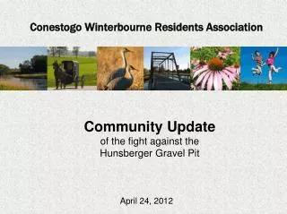
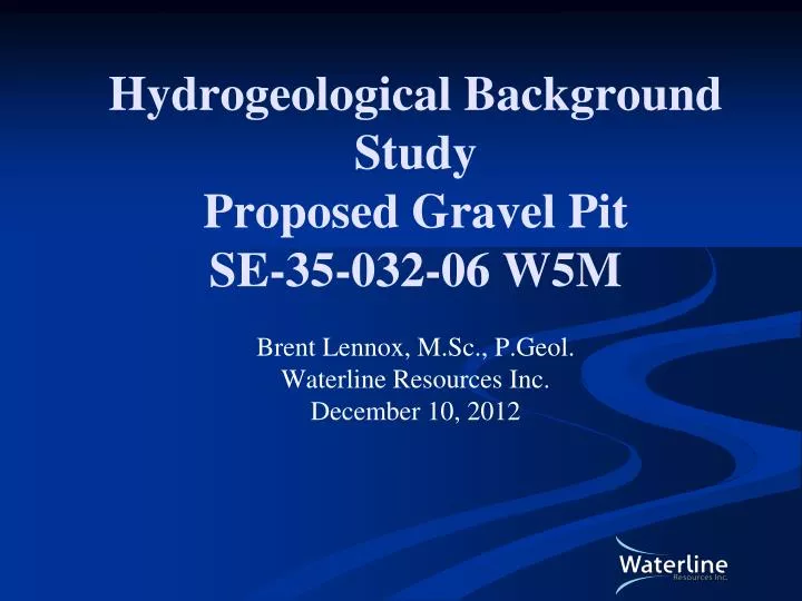
Hydrogeological Background Study Proposed Gravel Pit SE-35-032-06 W5M Brent Lennox, M.Sc., P.Geol. Waterline Resources Inc. December 10, 2012. Sources of Information.

E N D
Hydrogeological Background StudyProposed Gravel PitSE-35-032-06 W5MBrent Lennox, M.Sc., P.Geol.Waterline Resources Inc.December 10, 2012
Sources of Information • Regional geological and hydrogeological mapping (Ozoray and Barnes, 1977; Shetsen, 1987; HCL, 2000; Budney et al., 2004, TGWC, 2012) • Water well records from AESRD water well database (AESRD, 2012) • Approvals search (AESRD, 2012) • Site test pitting
Study Area Distance from Site to: Red Deer River: 2 km south and 6 km east Bearberry Creek: 2.3 km northeast Bearberry Creek Extent of Aquifer Proposed Development Regional Groundwater Flow Direction Red Deer River
Regional Geology/Hydrogeology Ground Topsoil/Silt 0.9 m Average Depth to Water at Site = ~3.2 m Proposed Depth of Excavation Gravel Rates of 11 to 273 L/min within 1.6 km radius Overburden/Bedrock Contact: 5 to 29 m regionally, >4.5 m at site, 29 m at water well record within site quarter Sandstone/ Shale = Vertical Gradient
Water Wells Proposed Development Quarter Section • 61 well records within 1.6 km radius, majority use gravel horizon as water source (AESRD, 2012) • Closest residences are in NE corner of site quarter section, 550 m NW, 725 m NE, 1.2 km E, numerous >80 m S based on aerial photographs • One water well in quarter section installed in bedrock aquifer
What’s Next • Still in preliminary stages of application process • Approval to divert water via evaporation from the end pit lake in process with Alberta Environment • Waiting on Alberta Environment to determine if there are additional regulatory requirements