Download
1 / 22
220 likes | 338 Vues
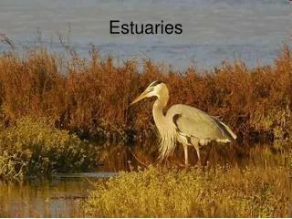
This report discusses significant environmental indicators affecting the Great Bay Estuary, focusing on nitrogen concentrations and eelgrass habitat. It highlights that dissolved inorganic nitrogen levels have risen by 59% over the last 25 years and provides insights on historical data comparisons. Despite increased nitrogen levels, no significant phytoplankton blooms were noted, and dissolved oxygen levels occasionally fell below state standards in tributaries. The report also reveals a concerning trend of declining eelgrass coverage since 1996, emphasizing the urgency of addressing these environmental changes.

E N D
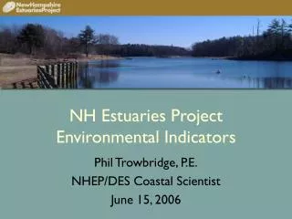
NH Estuaries ProjectEnvironmental Indicators Phil Trowbridge, P.E. NHEP/DES Coastal Scientist June 15, 2006
Environmental Indicator Reports • Reviewed by NHEP staff and Technical Advisory Committee • Represents current scientific consensus
State of the Estuaries Report • Summary of 12 key indicators • Additional indicators included as “side bars” • Latest report in 2003 • Next version will be released in October 2006 • October 27, 2006 Conference
Nitrogen Trends • Q: Have nitrogen concentrations in Great Bay changed significantly over time? • A: Yes. Comparisons to historical data show that dissolved inorganic nitrogen concentrations have increased in Great Bay by 59% in the past 25 years. During the same period, suspended solids concentrations increased by 81%, although there are some questions about the appropriateness of the comparison. Trends over the past 15 years since the current monitoring program began are equivocal, with increasing trends evident at only a few stations for a few parameters.
Any increase in nitrogen concentrations has apparently not resulted in increased phytoplankton blooms. The only increasing trend for chlorophyll-a was observed at a station with very low concentrations already. Moreover, a probabilistic survey of the estuary in 2002-2003 found only 1.6% of the estuary to have chlorophyll-a concentrations greater than 20 ug/L.
The total nitrogen load to the estuary in 2002-2004 was determined to be between 1,005 and 1,097 tons/year. This estimate is 30% lower than modeled values from the USGS SPARROW model.
Without WWTFs in Piscataqua River 1,005 tons/yr With 50% of WWTFs in Piscataqua River 1,097 tons/yr
Dissolved Oxygen • Q: How often do dissolved oxygen levels in the estuary fall below State standards? • A: Dissolved oxygen in the tidal tributaries often falls below 75%. This occurs most often in the Lamprey River. Dissolved oxygen in Great Bay and Portsmouth Harbor always meets standards.
Eelgrass Distribution • Q. Has eelgrass habitat in Great Bay changed over time? • A. Yes. Eelgrass coverage in the Great Bay has been declining since 1996 except for one good year in 2001. Between 1992 and 2003, the eelgrass biomass in Great Bay declined by 71%.
Summary • Dissolved inorganic nitrogen has increased by 59% over the past 25 years. • More recent trends in DIN are equivocal. • No evidence for elevated chlorophyll-a. • Low dissolved oxygen limited to tributaries • Eelgrass has been declining for 10 years. Nitrogen load estimates are 30% lower than SPARROW, and are correlated with population and land area. WWTFs account for 28-34% of the load.