Download
1 / 19
190 likes | 284 Vues
Gulf of Mexico and East Coast Carbon Research Cruise: A preliminary comparison of in situ and satellite products. Amanda M. Plagge Research & Discover Graduate Fellow University of New Hampshire, Durham, NH. Introduction.

E N D
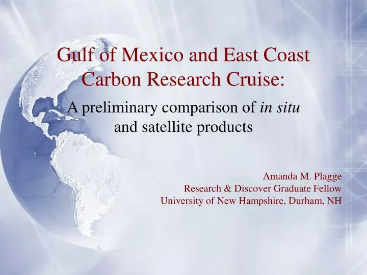
Gulf of Mexico and East Coast Carbon Research Cruise: A preliminary comparison of in situ and satellite products Amanda M. Plagge Research & Discover Graduate Fellow University of New Hampshire, Durham, NH
Introduction • Undergraduate work in engineering and Earth science at Dartmouth College • Masters in Electrical Engineering from Thayer Engineering School at Dartmouth College • Currently in the University of New Hampshire’s Natural Resources and Earth System Science Ph.D. Program
Objectives • Long-term • Use of ocean remote sensing to aid in renewable energy development efforts • Use of ocean remote sensing to better understand the Earth system and how it is changing • Short-term • Detailed analyses of satellite data compared to in situ data: ocean winds, fluxes, and productivity measurements
GOMECC Cruise • Gulf of Mexico and East Coast Carbon Cruise: July 10-Aug 4 • Water samples taken at various depths • Air fluxes: Momentum, CO2, Ozone • Flow-through system measured: • Salinity • Temperature • Chlorophyll • Scattering • Nitrate • Oxygen saturation
Original Plan and Changes • Original plan: concentrate on flux data in preparation for building our flux measurement buoy • Problem 1: ozone flux team had data transfer problems, and have not begun analyzing data yet • Problem 2: CO2 flux team lost sonic anemometer after first two weeks and will have to use data from ozone team’s anemometer; therefore also no data processed yet • Solution: Alternate focus found: comparing data from UNH flow-through system to satellite products
Methods • Use of SPIP and QuaTech box to log data • Use of statistical filters back at UNH to read in raw data and create ASCII files with all variables; upload back to ship • Filter data to match ship’s GPS string with flow-through instrument data • Use of MATLAB to process ASCII files • Incorporate SPIP on-off times and remove known bad data (e.g. when water shut off for cleaning) • Use of MATLAB to compare flow-through data to MODIS satellite products (uploaded by Ken Fairchild at UNH) • Difficulties finding clear (cloud-free) data • Choose chlorophyll product as most straight-forward to compare to in situ measurements
Chlorophyll units are log(mg m-3) Cruise Data
Results: Satellite image from July 11 Chlorophyll units are log(mg m-3)
Results: July 11 continued Chlorophyll units are log(mg m-3)
Results: Satellite image from July 22 Chlorophyll units are log(mg m-3)
Results: July 22 continued Chlorophyll units are log(mg m-3)
Possible Sources of Error • Satellite chlorophyll in many places is greater than that measured by flow-through sensor • Coastal regions: • Satellite algorithm is basically ratio of reflectance in blue to that in yellow/green • Colored dissolved organic matter (CDOM) also absorbs blue light and are common along coast • Therefore, results in higher satellite measures of chlorophyll along coast • Open ocean: • During summer, optimal depth for phytoplankton would be 20-30 m • Satellite would pick up plankton at this depth • Flow-through seawater inlet is 3-5 m; would not pick up this signal • Errors due to different quantum yields • Quantum yield= measure of efficiency of photosynthetic process • Differs for different water masses • Relationship between fluorescence (measured quantity) and chlorophyll concentration (desired quantity) will change • Instrument errors (satellite, sensor) • Errors in GPS match-ups and co-location
Conclusions • Accomplished a fair amount in a short time while learning a lot about ocean productivity • Very reasonable match-ups: matching error should be less than 30% (MODIS specs) but it is routine to find it as high as 100%* • Visual coherence observed between in situ and satellite measurements • Based on above, fluorometer is a reasonable instrument to use to study chlorophyll distributions • Further work will be needed to quantify errors * Joe Salisbury, personal communication
Future Work Based on GOMECC • Productivity and fluorescence: use 8-day MODIS composite images to increase probability of pixel matching; compare other MODIS products (bb, cdom, etc); quantify errors • Wind comparison: in situ from R/V Ron Brown vs. satellite scatterometer wind at various resolutions • Fluxes: investigate data from flux equipment on R/V Brown to prepare for data from flux buoy • Temperature comparison: in situ from R/V Brown on-ship data and both temp-monitoring flow-through sensors vs. with MODIS SST data
Acknowledgments • Joe Salisbury • Ken Fairchild and Chris Hunt • My committee: Doug Vandemark (chair), Jamie Pringle, John Moisan, Bertrand Chapron, John Kelley • NOAA and AOML • The crew of the Ronald H. Brown • The Ocean Color Group’s MODIS browser • UNH, GSFC, and Research & Discover
Future Work: Buoy • Assemble equipment on bench; test on roof of Morse Hall to ensure data logging properly etc • Mount equipment on Jim Irish’s wave buoy • Deploy for one month • Recover; make any necessary changes • Move equipment to CO2 buoy; redeploy with remote data access.
Future Work: Wind • Evaluation of high resolution (3 km) product • Comparison of variance and buoy gustiness • Filtering to degrade resolution: what information lost between 3 km, 12.5 km, 25 km? • Comparison with MODIS True Color images to attempt to account for image variability and apparent fronts • All resolutions: (3 km, 12.5 km, 25 km) • Comparison with CODAR-- current-measuring radar • Comparison of MM5 model • Comparison with SAR images • Further comparison with MODIS SST fronts