Download
1 / 12
120 likes | 353 Vues
The San Francisco Earthquake of 1906. A Virtual Field Trip By Warren Kelly. Possible Lessons. Connected Activities. The San Andreas Fault. Continental transform fault that runs throughout the state of California.

E N D
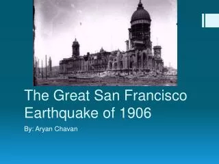
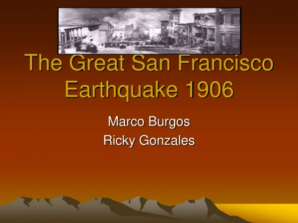
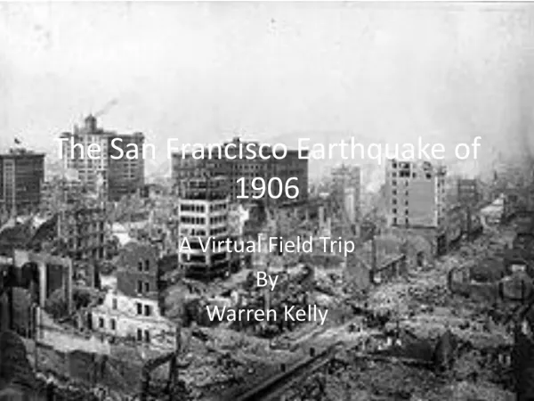
The San Francisco Earthquake of 1906 A Virtual Field Trip By Warren Kelly
The San Andreas Fault Continental transform fault that runs throughout the state of California. It forms thetectonic boundary between the Pacific Plate and theNorth American Plate.
Historic San Francisco Early San Francisco was centered on missions work with the local Ohlone Indians. The mission was founded in October of 1776, and was named after St. Francis of Assisi. The mission experienced some growth in the early 19th Century, but by 1842, only 8 Christians remained. The Mission San Francisco de Asís, the oldest surviving structure in San Francisco. It was founded by LieutenantJosé Joaquin Moraga and Father Francisco Palóu in 1776.
The Gold Rush In 1849, gold was discovered at Sutter’s Mill, several hundred miles east of San Francisco. The mission town became an important center for shipping, and by 1849 the population had grown to over 25,000 from just 1,000 a year earlier. The Gold Rush resulted in California being granted statehood in 1850.
The San Andreas Fault Each dot on this map indicates an earthquake that took place within the past week (as of 9/26/09). The San Andreas Fault is an active fault line that passes through many heavily populated areas of California.
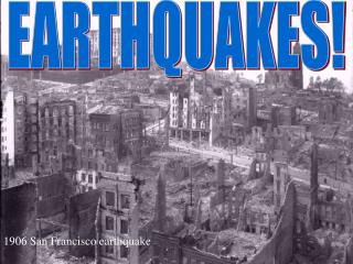
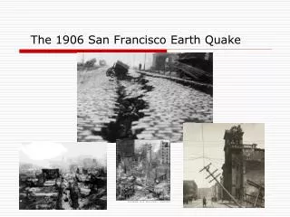
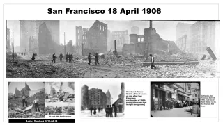
Years later, the scars from the 1906 quake are still evident.
Soil Liquifaction The 1964 Niigata Earthquake Modern San Francisco At Risk Above: The results of soil liquifaction– soil turning from solid to liquid. To the right: modern San Francisco, showing buildings downtown. The red zone indicated severe risk of soil liquifaction.
Virtual Field Trip Students will participate in a virtual field trip, using Google Earth and files found at the US Geological Survey website at http://earthquake.usgs.gov/regional/nca/virtualtour/. The tour includes photographs linked to the specific area of San Francisco they were taken in, as well as written statements from eyewitnesses concerning the quake, also located geographically. Unfortunately, these files do not import into Power Point. Also included will be the interactive map of the area at the University of California at Berkley’s collection found at http://bancroft.berkeley.edu/collections/earthquakeandfire/interactivemap/index.html