Aerial Photo & Map Analysis Exercise
In this exercise, each inbound flight will capture pictures from different angles to analyze locations like SKX, ABQ, FMN, CVS, and LRU. The images will be correlated with sectional maps to determine aircraft positions and identify wind patterns. Camera location selection and search patterns will also be discussed.

Aerial Photo & Map Analysis Exercise
E N D
Presentation Transcript
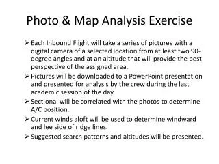
Photo & Map Analysis Exercise • Each Inbound Flight will take a series of pictures with a digital camera of a selected location from at least two 90-degree angles and at an altitude that will provide the best perspective of the assigned area. • Pictures will be downloaded to a PowerPoint presentation and presented for analysis by the crew during the last academic session of the day. • Sectional will be correlated with the photos to determine A/C position. • Current winds aloft will be used to determine windward and lee side of ridge lines. • Suggested search patterns and altitudes will be presented.
Photo and Map Analysis Locations SKX ABQ FMN CVS ABQ LRU