Advanced Route Choice Techniques in Orienteering
This comprehensive guide from the Canadian Orienteering Federation (2004) explores advanced route choice strategies for orienteering. Key concepts include effective map reading techniques, the implications of climbing early, contouring strategies, and identifying attack points using a traffic light system. The guide emphasizes the importance of aiming off, simplifying navigation, and knowing the advantages and disadvantages of various techniques to enhance performance. Perfect for orienteers aiming to refine their skills and improve running speed while minimizing carelessness during navigation.
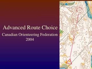

Advanced Route Choice Techniques in Orienteering
E N D
Presentation Transcript
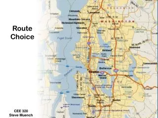
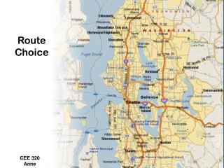
Advanced Route Choice Canadian Orienteering Federation 2004
Advanced Route Choice • Aim off • Climb early • Contouring • Attack Points (Traffic Light) • Rough Compass and map reading (red lining) • Simplify
Aim Off • Advantage • Know which side of a catching feature • Increased running speed • Simplify the map reading required • Disadvantage • Longer distance • Tends to promote carelessness
Climb Early • Advantage • Better attack point options • Less fatigued when attacking control • Better visibility near the control • Disadvantage • Eliminates some route choice options
Contouring • Advantage • Maintain height, energy • Use contour as a “handrail” • Disadvantage • Rarely a straight line • Easy to gain, lose height if not skilled • Steep slopes are very slow to traverse (steepness and vegetation grows at odd angles) • Tops of hills often open, easy running • General Rule: 10m climb = 100m flat
Attack Points • Traffic Light (Green Yellow Red) • Green = Rough O to catching features • Yellow = Rough/precision O to Attack Point • Red = Precision O from Attack Point • Attack from above • Attack cliffs (foot of) from below • Boulders often more visible from below • Reentrants can be visible from below • Extend the control
Redlining Straight line compass Map read ahead Prevent errors by looking for possible parallel errors Useful in flatter, open terrain with good visibility
Simplify • Break it down • Look for catching features • Orienteer to the next catching feature to shorten the leg • “Long legs are just a series of short legs”
Simplify • Break it down • Look for catching features • Orienteer to the next catching feature to shorten the leg • “Long legs are just a series of short legs”